Channel Islands National Park
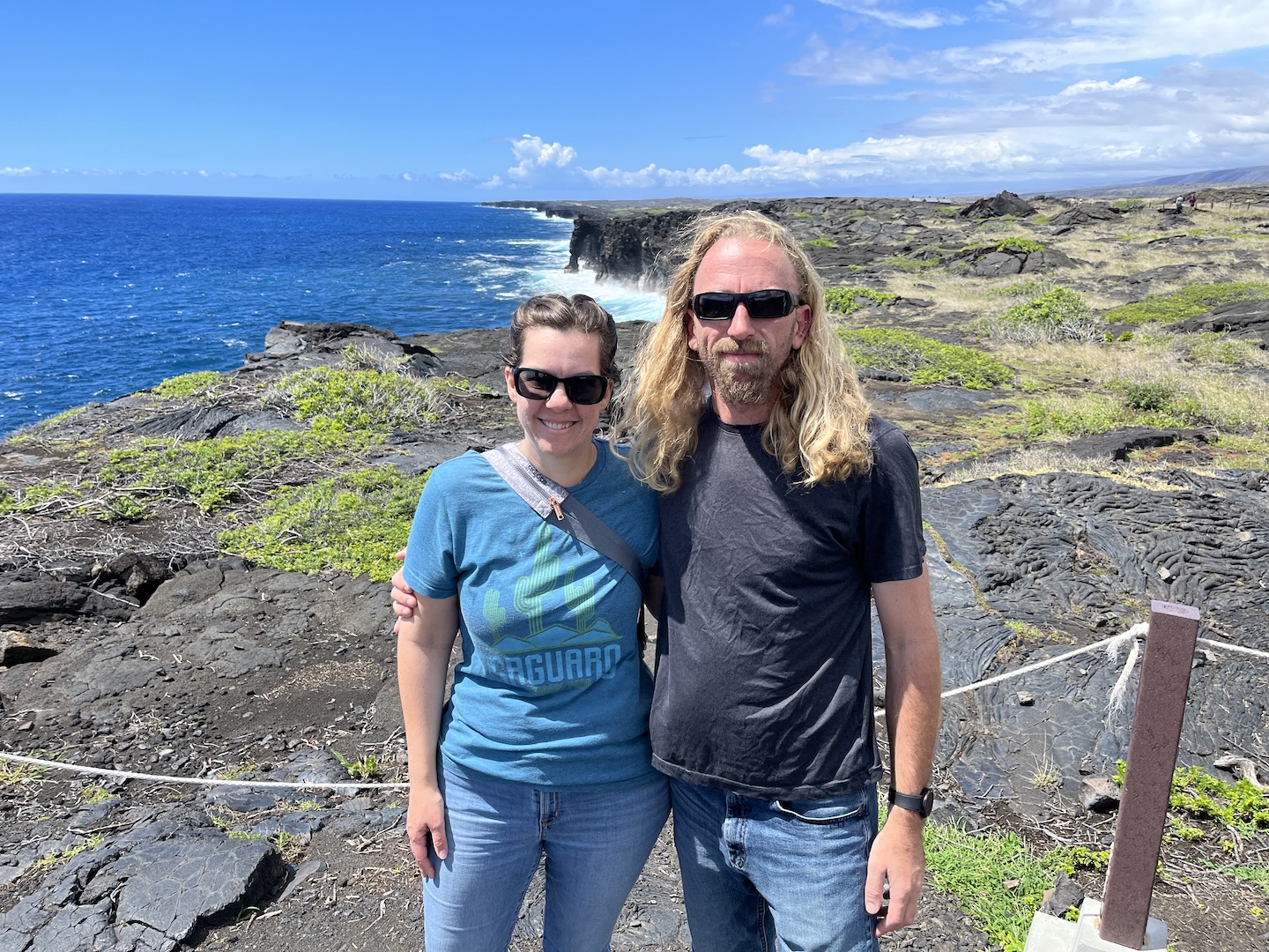
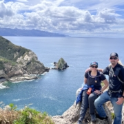
Channel Islands has been on my list for a while. We had a trip planned a couple years ago over fall break, but a crazy storm rolled in and basically cancelled our trip. Channel Islands is definitely one of my favorite national parks. It’s an hourish away from LA and feels otherworldly. The boat ride over was incredible, the islands are gorgeous, the views are epic, the baby foxes are the cutest thing in the world, and the company that joined us was the cherry on the top.
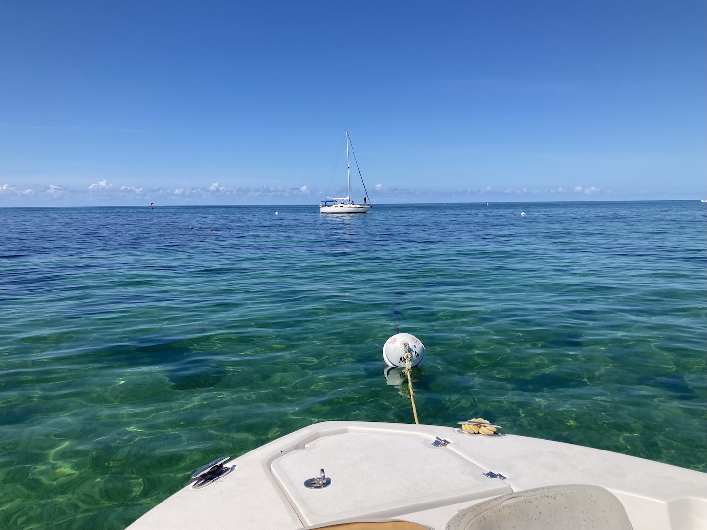
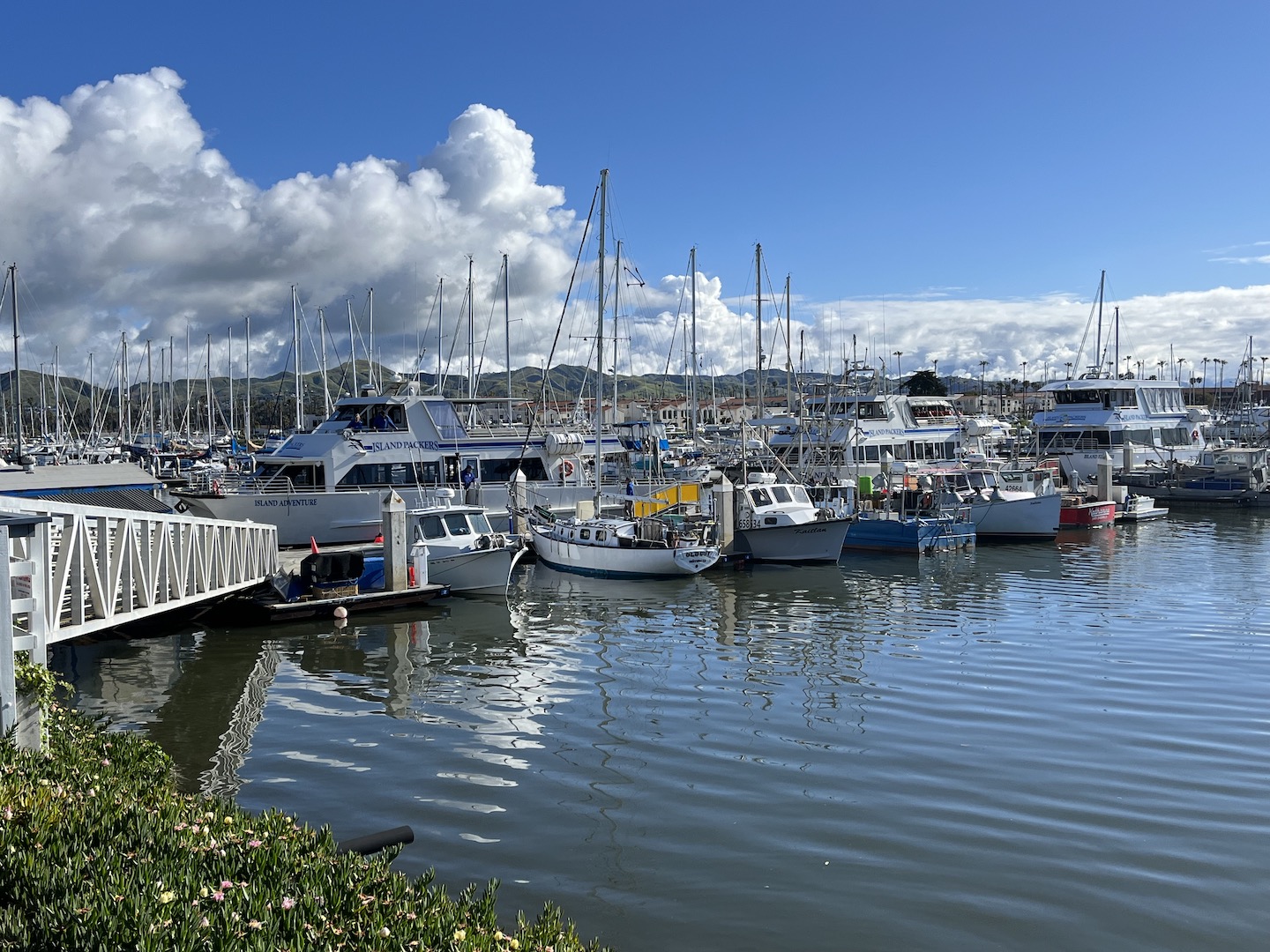
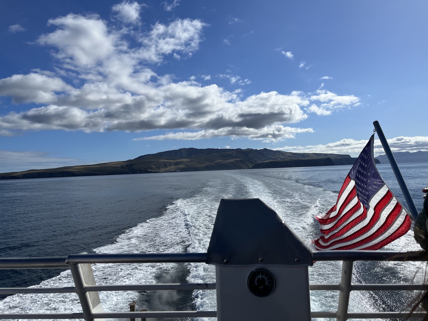
Channel Islands National Park consists of five islands off the coast of Ventura, California. There are no roads/cars on the island and only a few buildings. Mostly structures from when the land was privately owned prior to becoming a national park. It’s a rustic experience which is so fun and harder and harder to come by these days. To get to the islands, you have to take a ferry. We booked an early morning ferry and spent the night in Ventura so we could be at the dock bright and early.
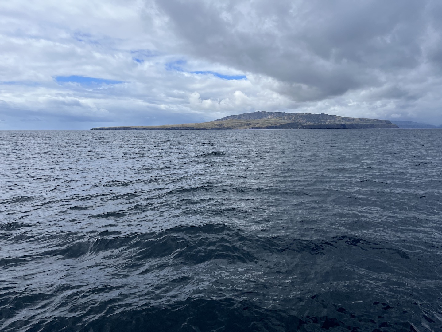
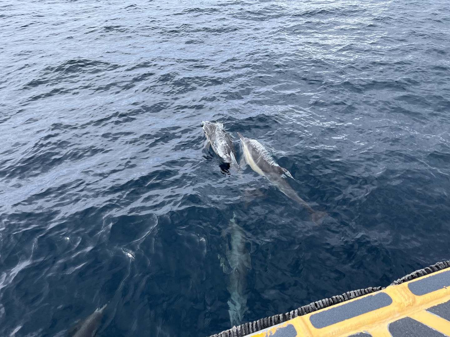
The ferry ride over started our adventure as we saw lots of wildlife. Dolphins swimming with the ferry was definitely a highlight!
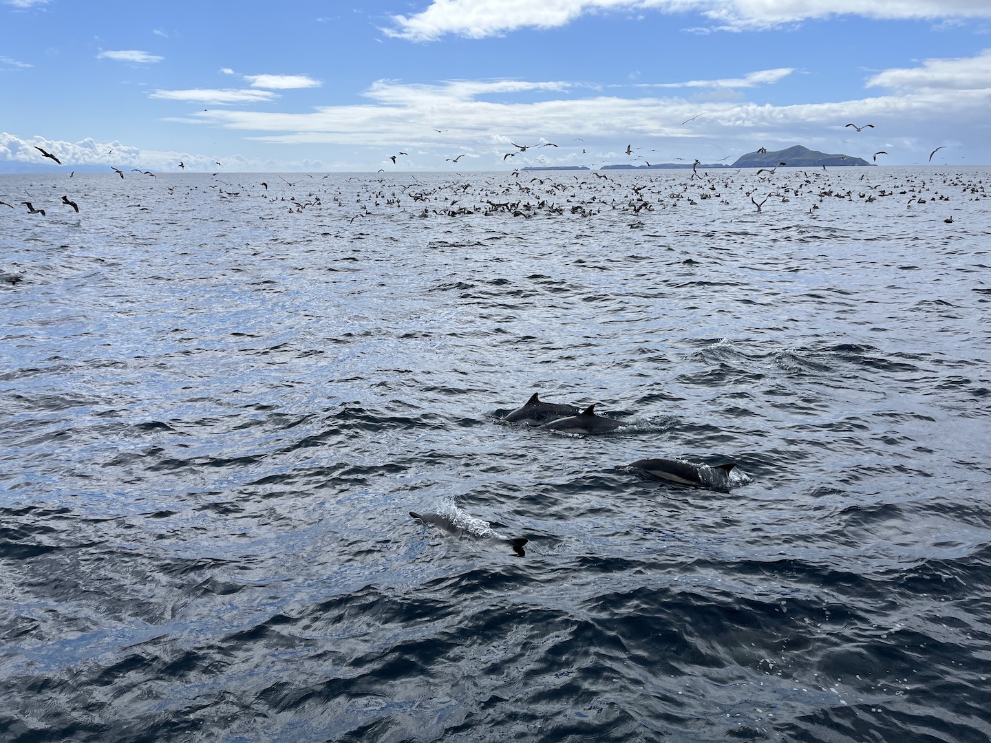
At one point our captain spotted a bunch of birds sitting on the water and circling around. He said that usually means there is a lot of plankton or something in the water which leads to a lot of wildlife. He was right! We saw so many dolphins, a whale, and tons of birds. We stayed there for a while just watching and it was incredible! The ride over was beautiful and added to the excitement of what we were about to see.
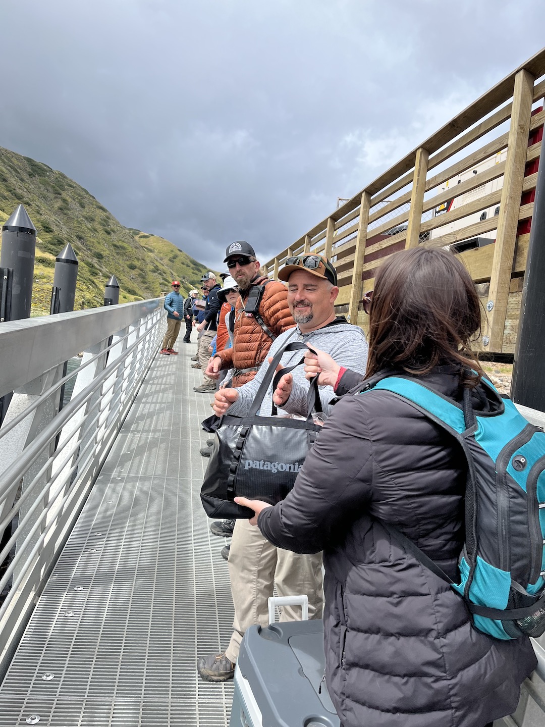
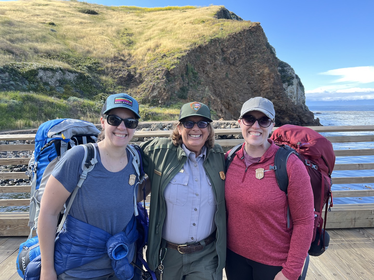
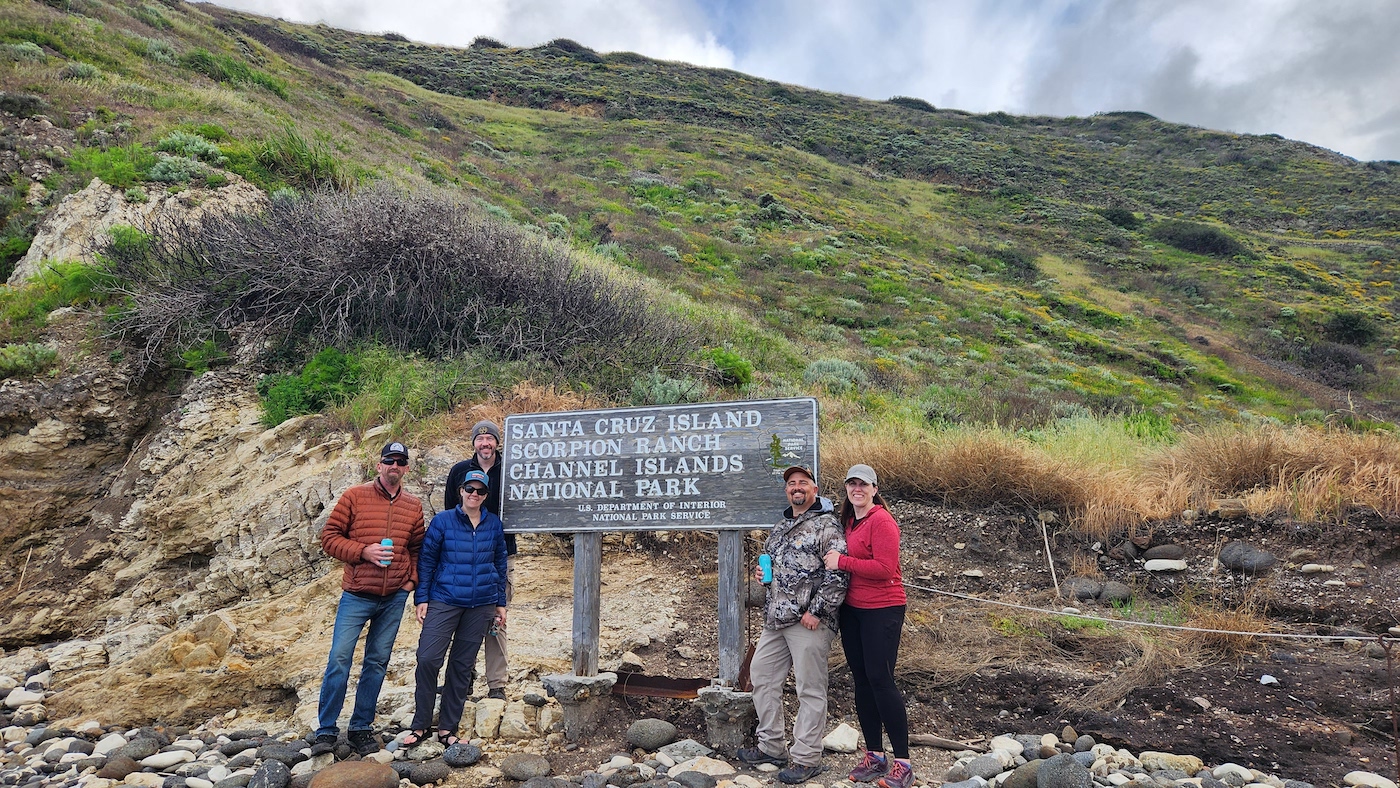
We visited Santa Cruz Island and you can camp or take a day trip. Those camping are the last to exit the ferry as we had to unload our gear. We made a line across the boat/dock and passed every item down one by one. It was an interesting endeavor as not everyone in the line understood we were all in this until all the gear was off the boat. Not just your bag.
Once everything was unloaded, we met with a ranger for a mandatory meeting where she shared tips and warned us about the incredibly cute little island foxes and how much of a nuisance they can be. She played a game and asked a few questions. I knew the answer to one of her questions and won myself a Junior Ranger badge which I proudly wore for the entire weekend! It’s the closest I will ever be to a Ranger so I’ll take it. Ranger Karen was the absolute best! She was so cheerful every time we saw her. I mean, I probably would be too if lived on Santa Cruz Island.
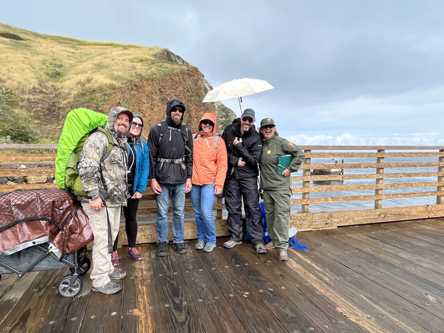
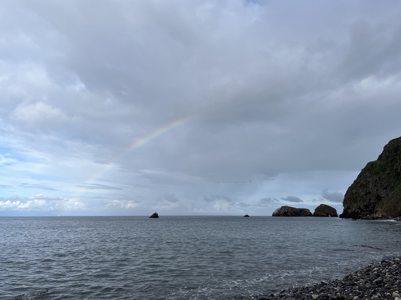
Of course, as soon as we finished our ranger talk it started raining. We quickly put on our rain gear, covered our stuff as best as we could, and made the short walk to the campground. The sites are .5 – 1 mile from the dock, so not too far. You have to be able to carry all your stuff but the walk is easy/flat and you can load your stuff into a wagon. We mostly brought a wagon so we could bring a cooler. (Island Packers has specific rules around what you can bring to the island, so be sure to check those out before packing.)
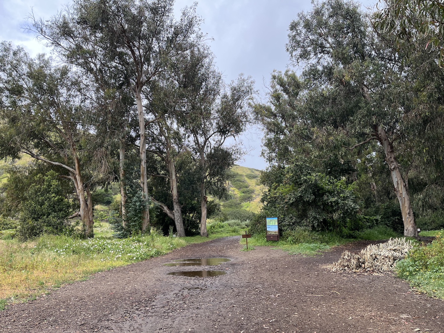
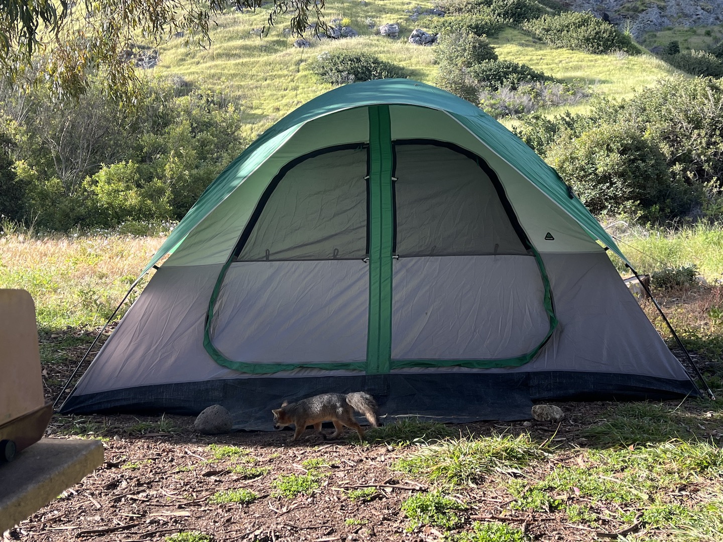
Fortunately it didn’t rain for long and we were able to set up camp and start exploring. We visited May 2023 and everything was green.
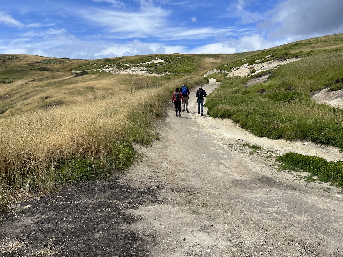
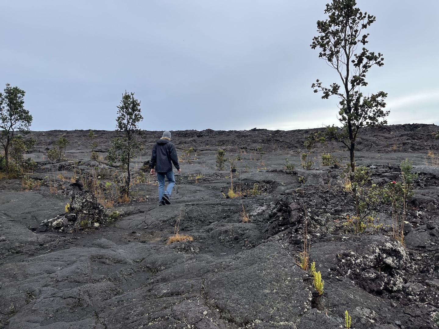
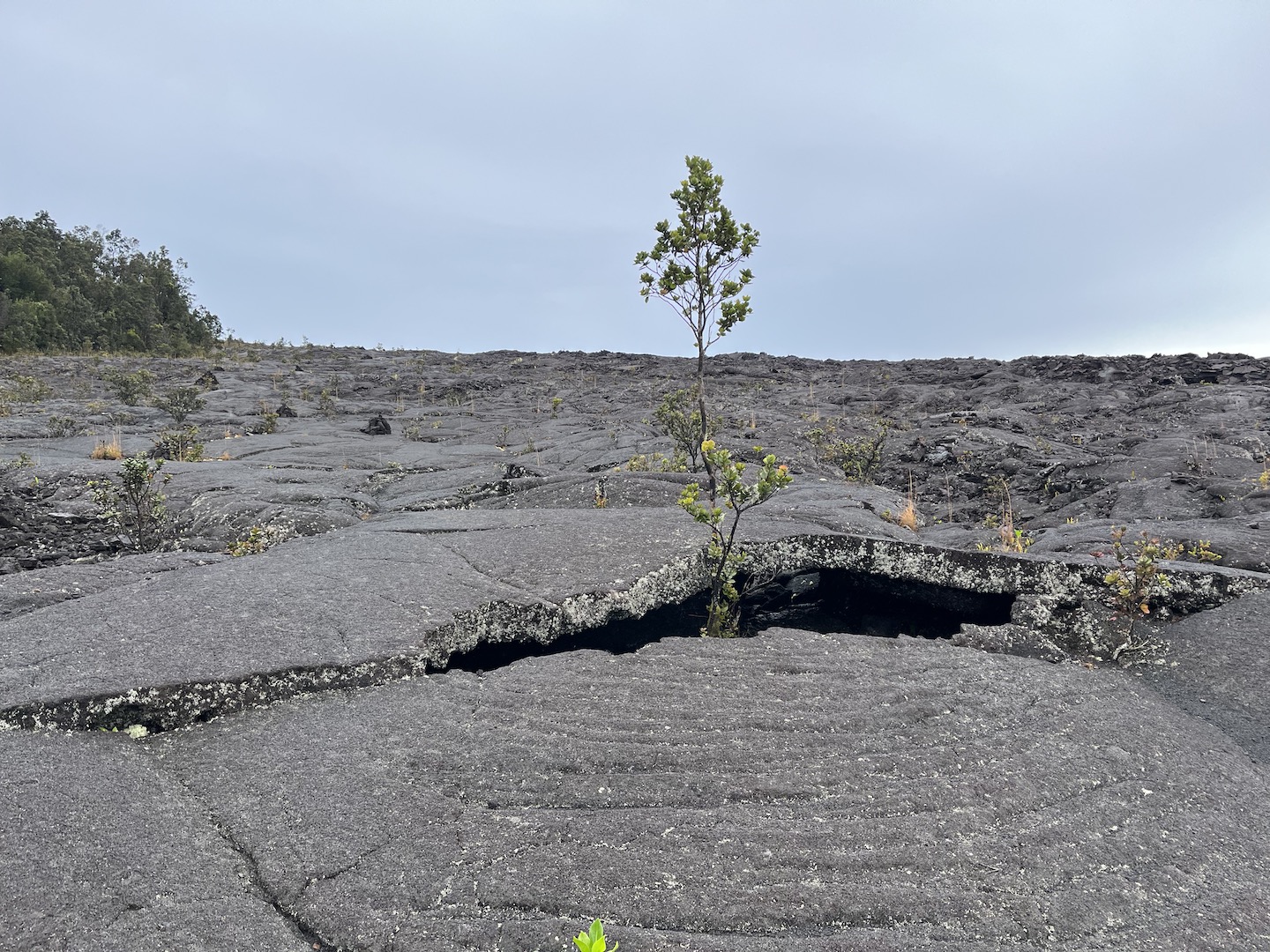
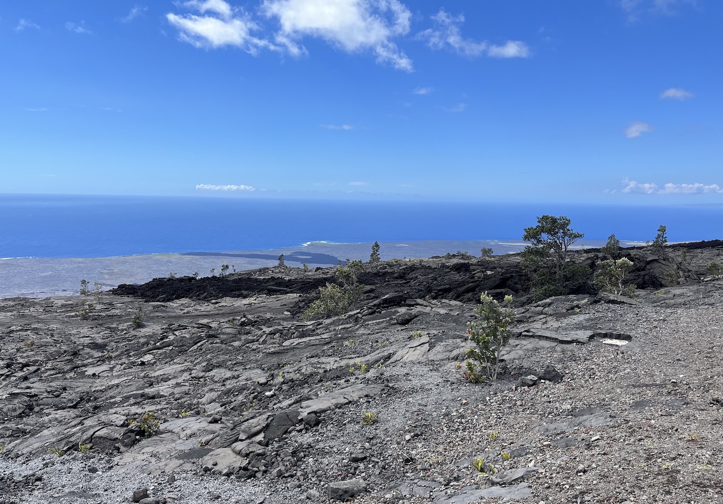
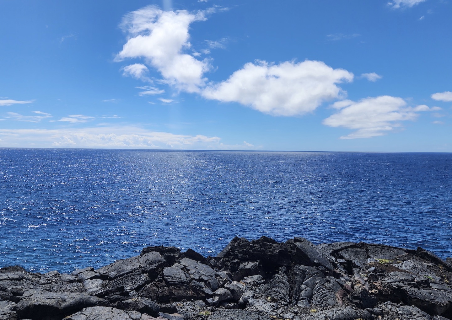
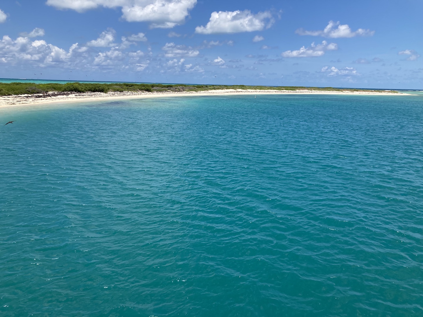
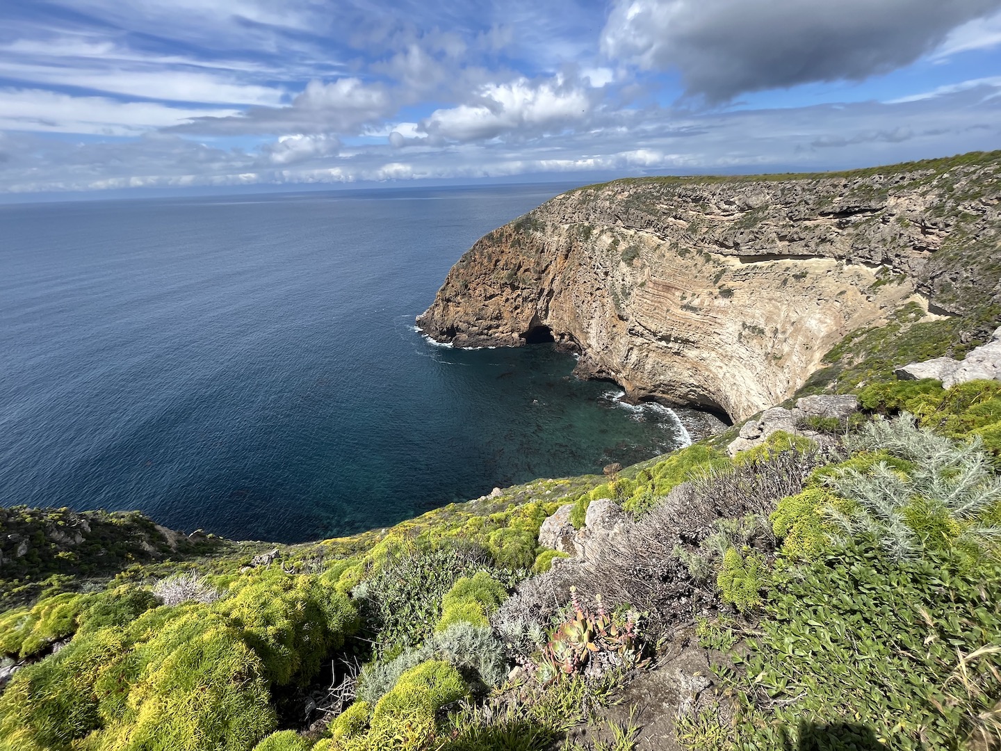
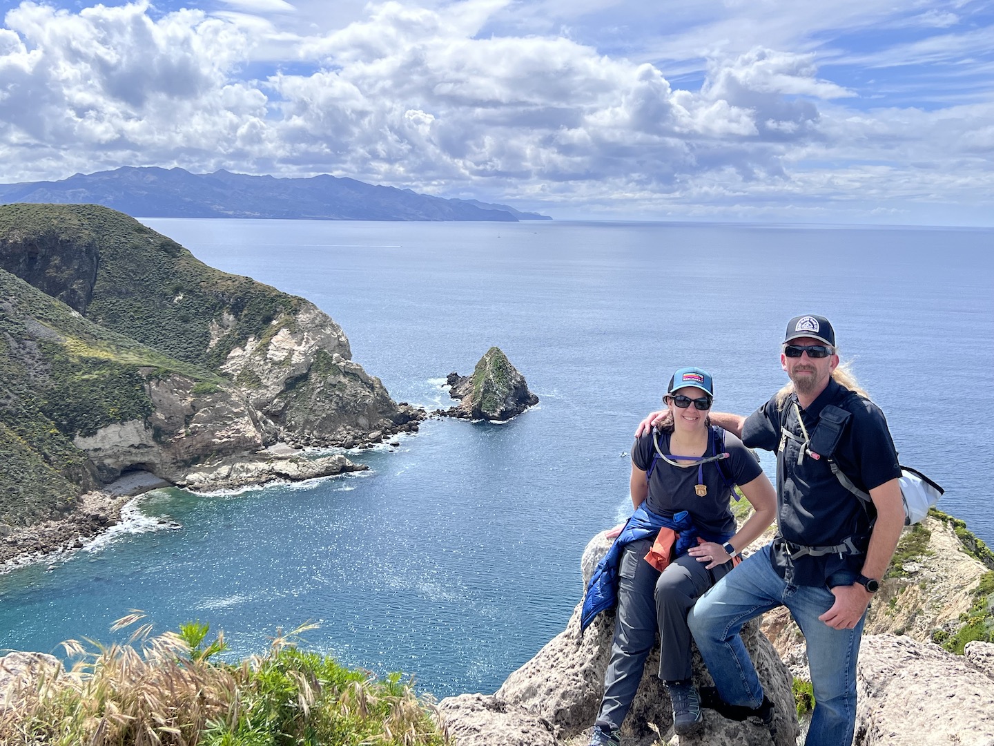
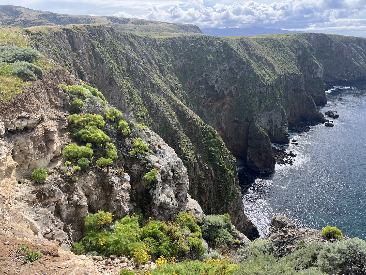
The views are epic once on top of the island. I could not believe LA was just across the channel. We could see it in the distance and it looked so green and hilly.
Eventually we made our way back to camp and then decided to head to the beach for happy hour. Is there anything better than sitting on the beach with friends in a beautiful place listening to the waves?
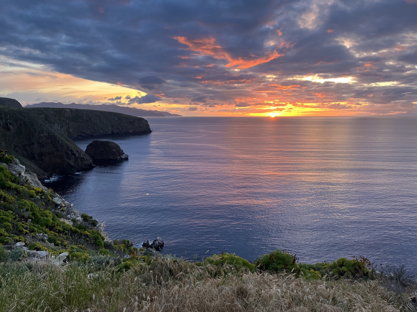
Heads up, there is tar in the water from the channel so be careful where you sit. Apparently tar seeps from the ocean floor off the California coast. We didn’t realize that and ended up with tar on our clothes. At some point after happy hour we ate dinner but I’m not sure if it was before or after we headed up a hill to catch the sunset. EPIC. We finished the night with games around the table. Days like this are what my dreams are made of.
We unfortunately only made camping reservations for one night, so Day 2 started by packing up camp. I would highly recommend two nights on the island. One just wasn’t enough. We booked a sea kayaking excursion in the morning, so once camp was packed we headed over to the beach. We listened to the safety talk, put on our wet suits, grabbed kayaks, and headed out for some fun!
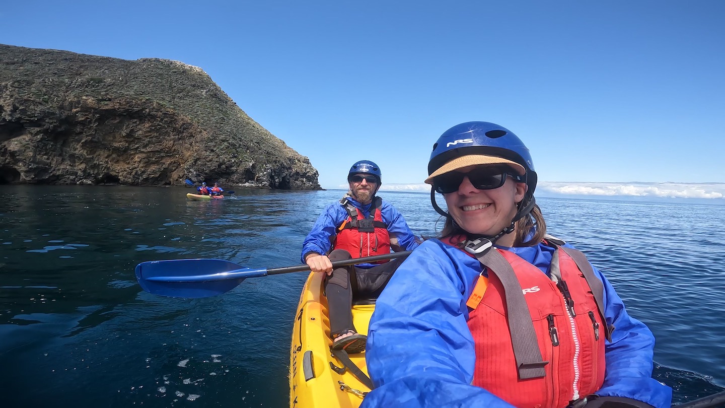
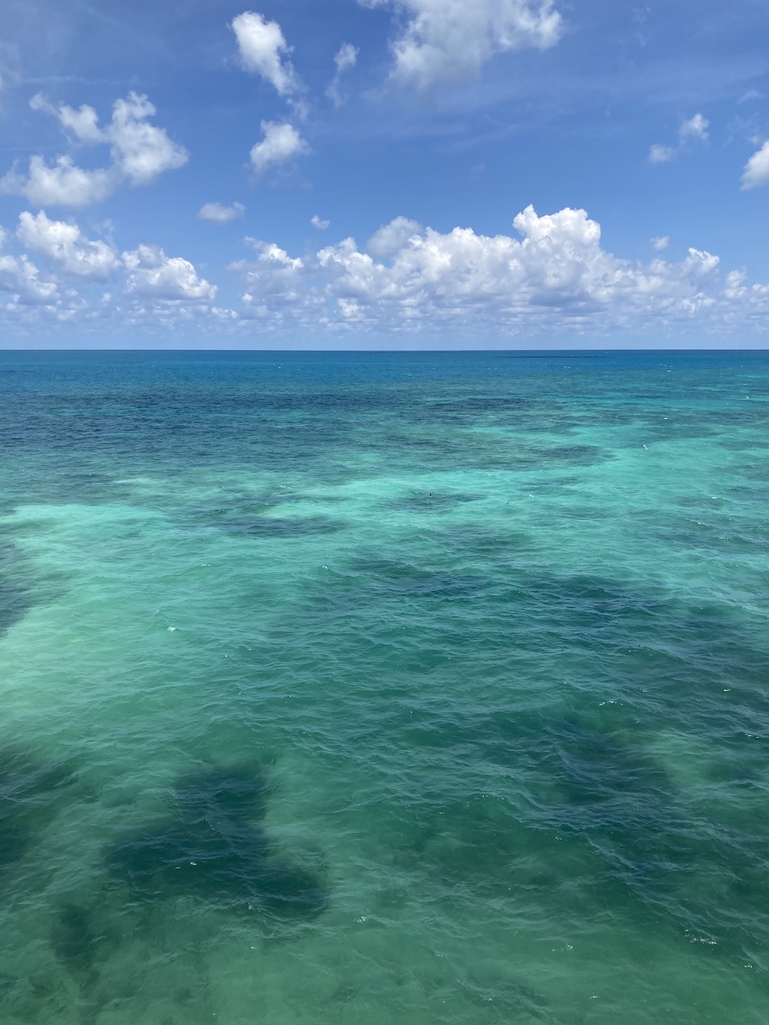
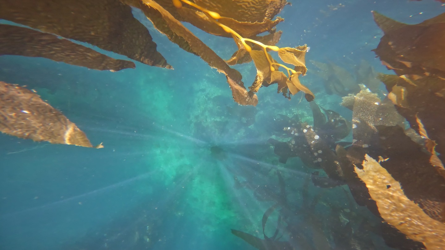
The water was absolutely gorgeous and was a deep, clear shade of blue. There were gorgeous kelp strands everywhere and it was stunning.
I made a video of our sea kayaking adventure. I need to send a special shout out to my husband. I didn’t realize how much of a crappy kayaking parter I am until I watched the video. I stopped paddling so many times thinking we were drifting in the proper direction. Nope. Turns out The Husband was steering us. Oops. And thank you!
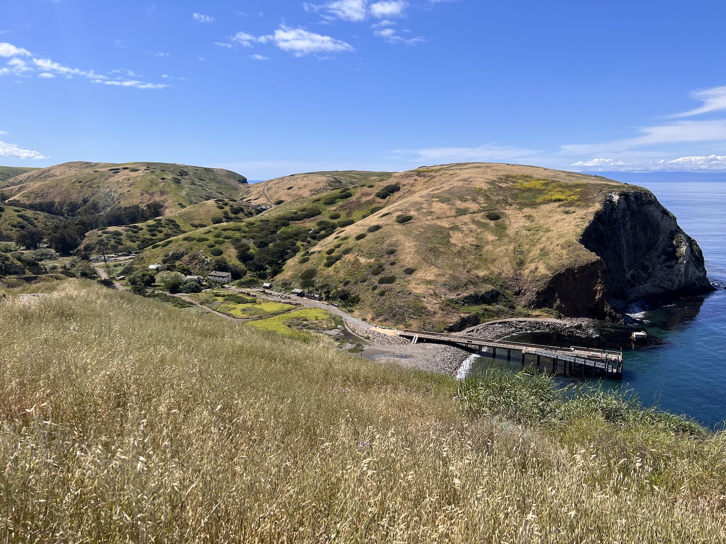
While waiting for the afternoon ferry back to Ventura we explored the visitor center, took another short hike, and just hung out. We walked up to the top of one of the hills close to the dock and took in the ocean views one last time.
We had so much fun on Santa Cruz Island and I’d highly recommend visiting! If you’re not a fan of camping, you can take a day trip. If you’re a camper, spend at least two nights if you can. One night will still be epic though if that’s all you have. We packed a lot of adventure into our roughly 1.5 days on the island. My only complaint is I could have used a nap post kayaking and couldn’t take one because we no longer had a campsite. Campground and ferry reservations fill up fast so make sure to plan ahead so you can make your trip happen. Happy camping!