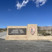
A Week In Northern Arizona
Summer 2024 we spent a week deep in the forest of northern Arizona. It was a more chill vacation than I’m used to but it was absolutely fabulous. We stopped in Flagstaff for two nights on the way north to break up the drive. It just so happens that it was really hot the week we were on vacation so we left our air conditioned house to camp in the heat with no A/C. Cool. We stayed at Canyon Vista Campground just outside of Flagstaff.
I loved the campground but it’s first come, first serve so not an easy place to get a spot at. The sites are large and the campground backs to the forest and trails. It was honestly perfect, minus the whole hard to get a site thing.
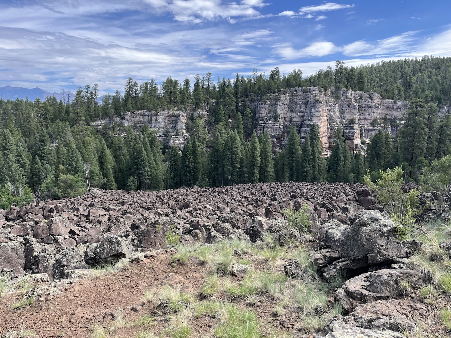
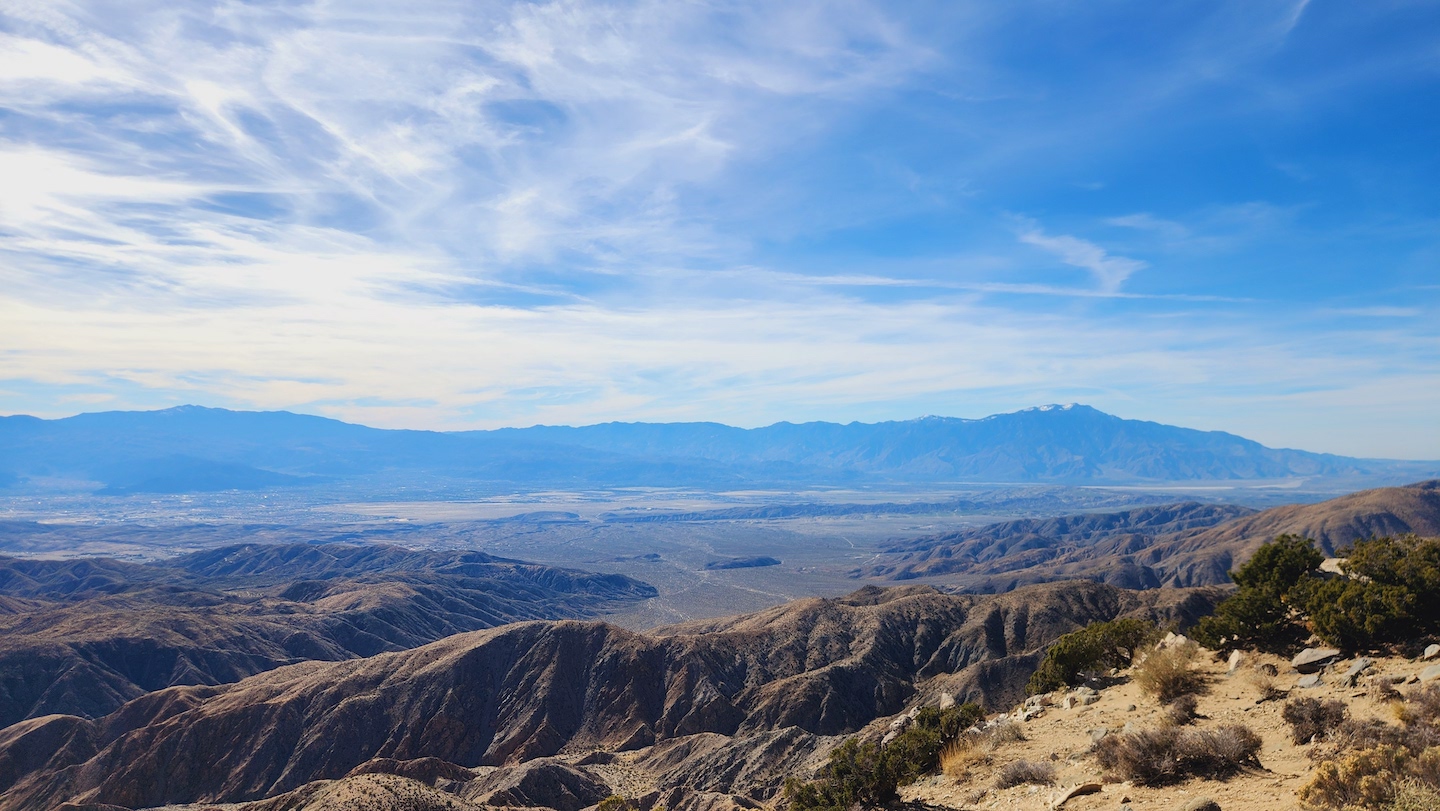
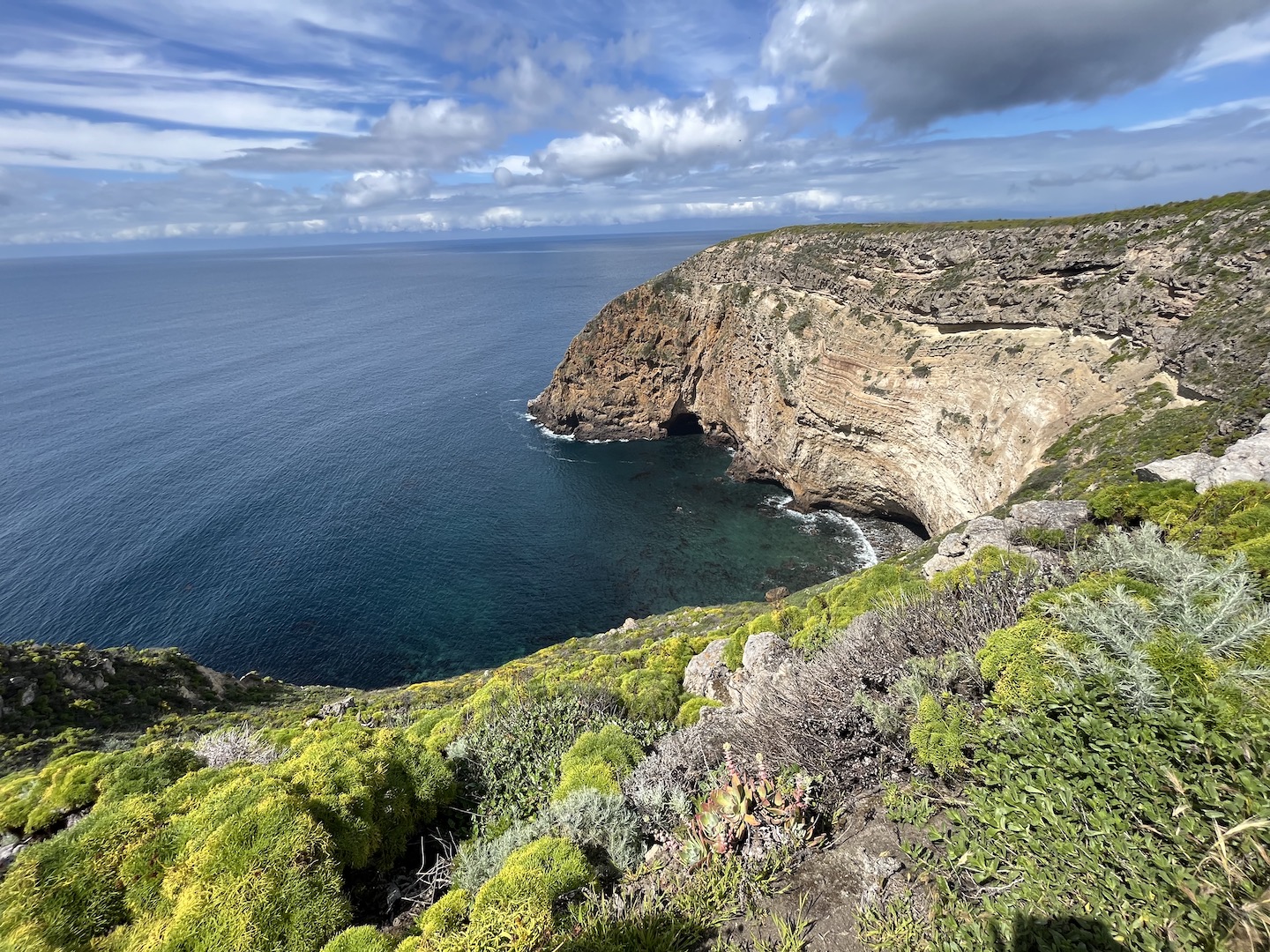
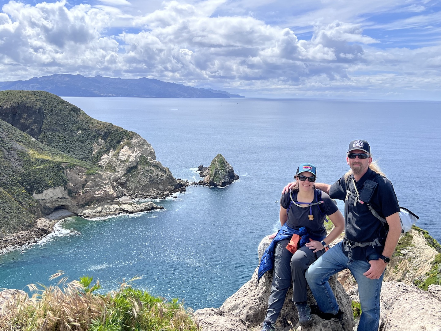
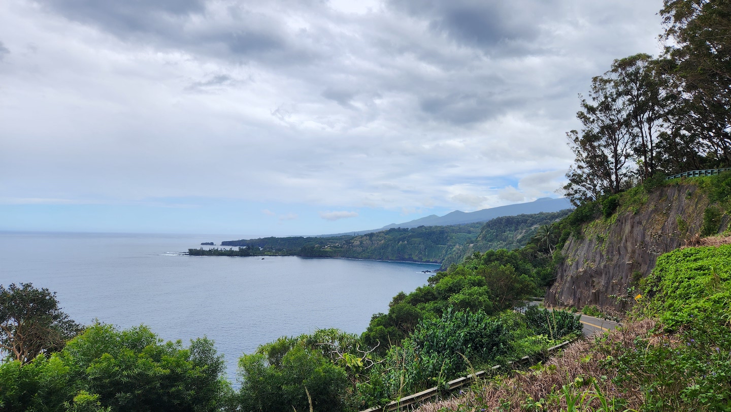
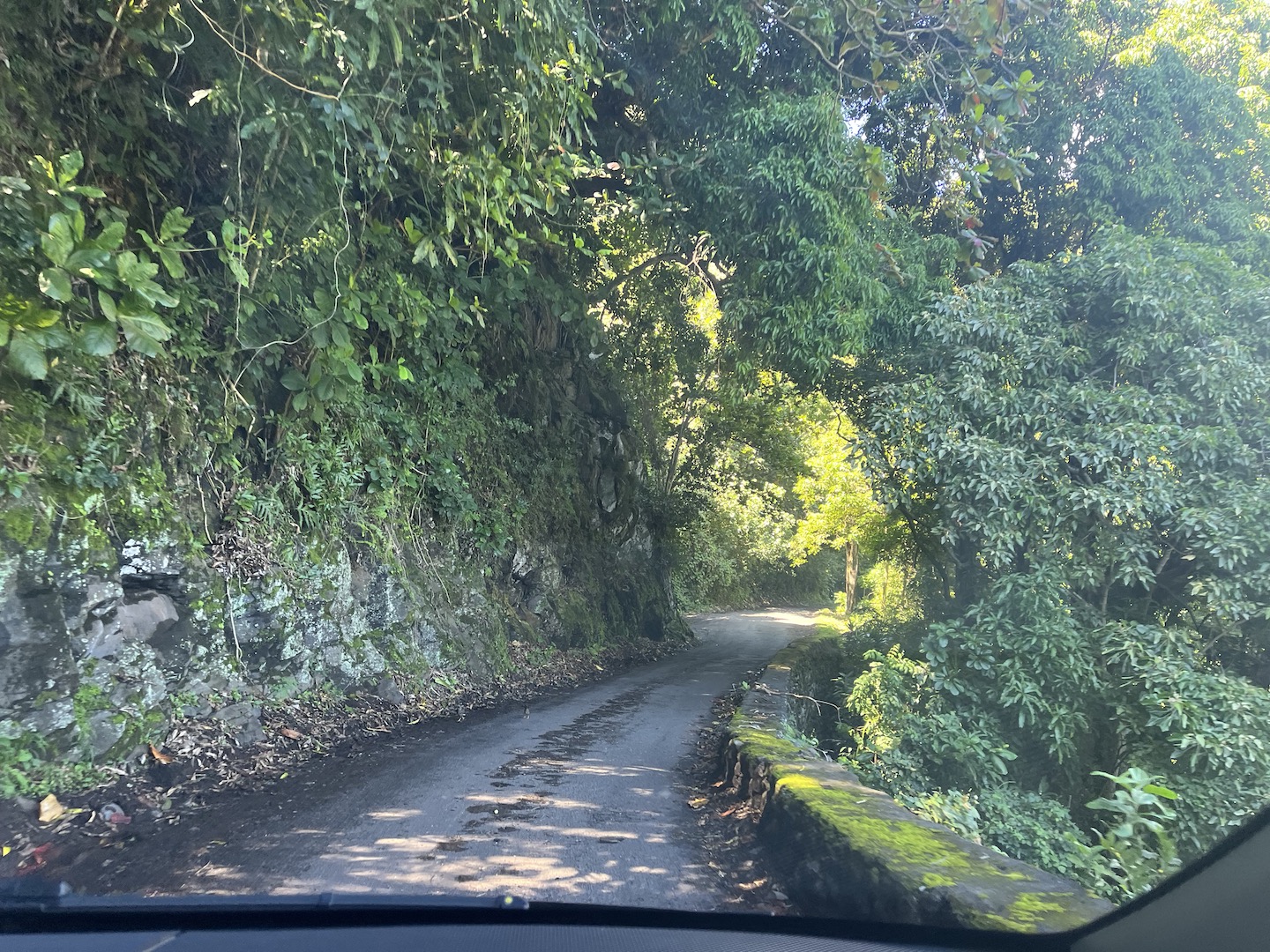
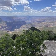
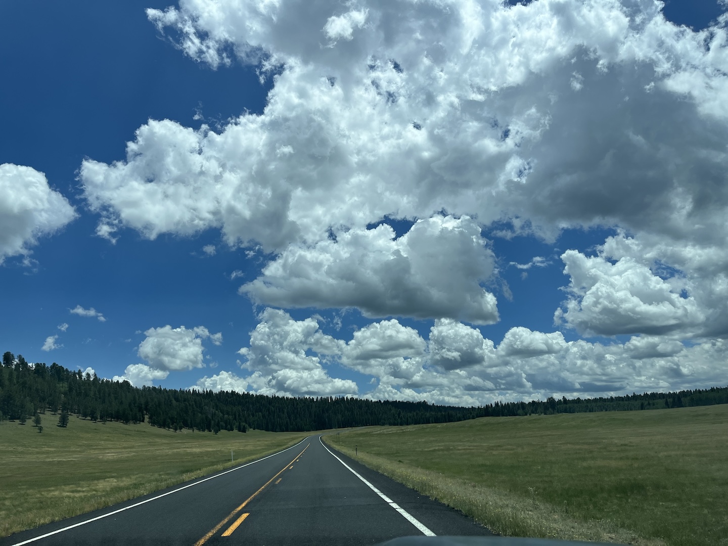
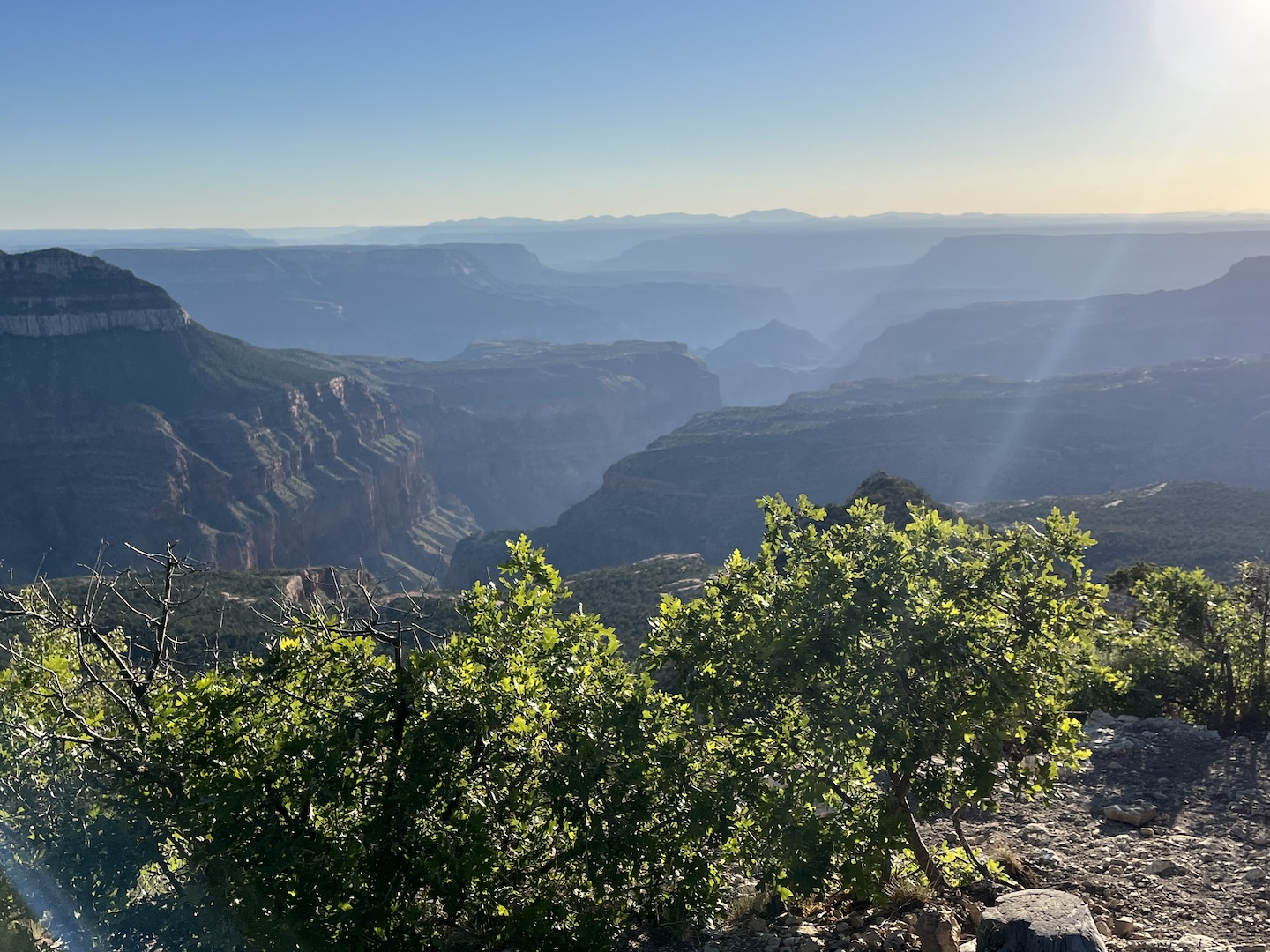
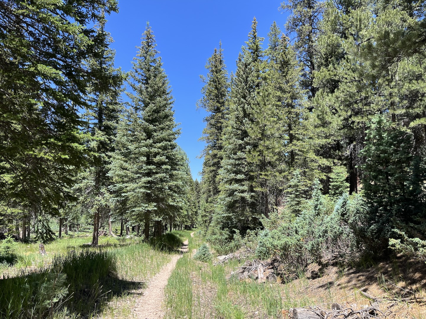
Our goal for the trip was to spend time on the North Rim of the Grand Canyon, the Rainbow Rim area to be specific. We’ve been twice before and have loved it each time. The drive between Flagstaff and the Kiabab Plateau is insanely gorgeous. If you’ve never taken that drive you absolutely should.
We visited in early July and expected it to be hard to find a campsite. It was the exact opposite and we got the BEST campsite! The Rainbow Rim area is 20+ miles down a dirt road and on the edge of the Grand Canyon. It’s really secluded and you get no cell service. Talk about peace and solitude.
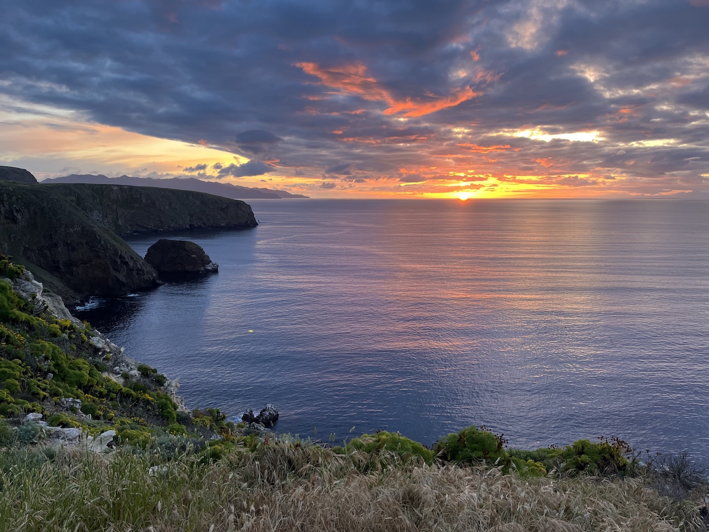
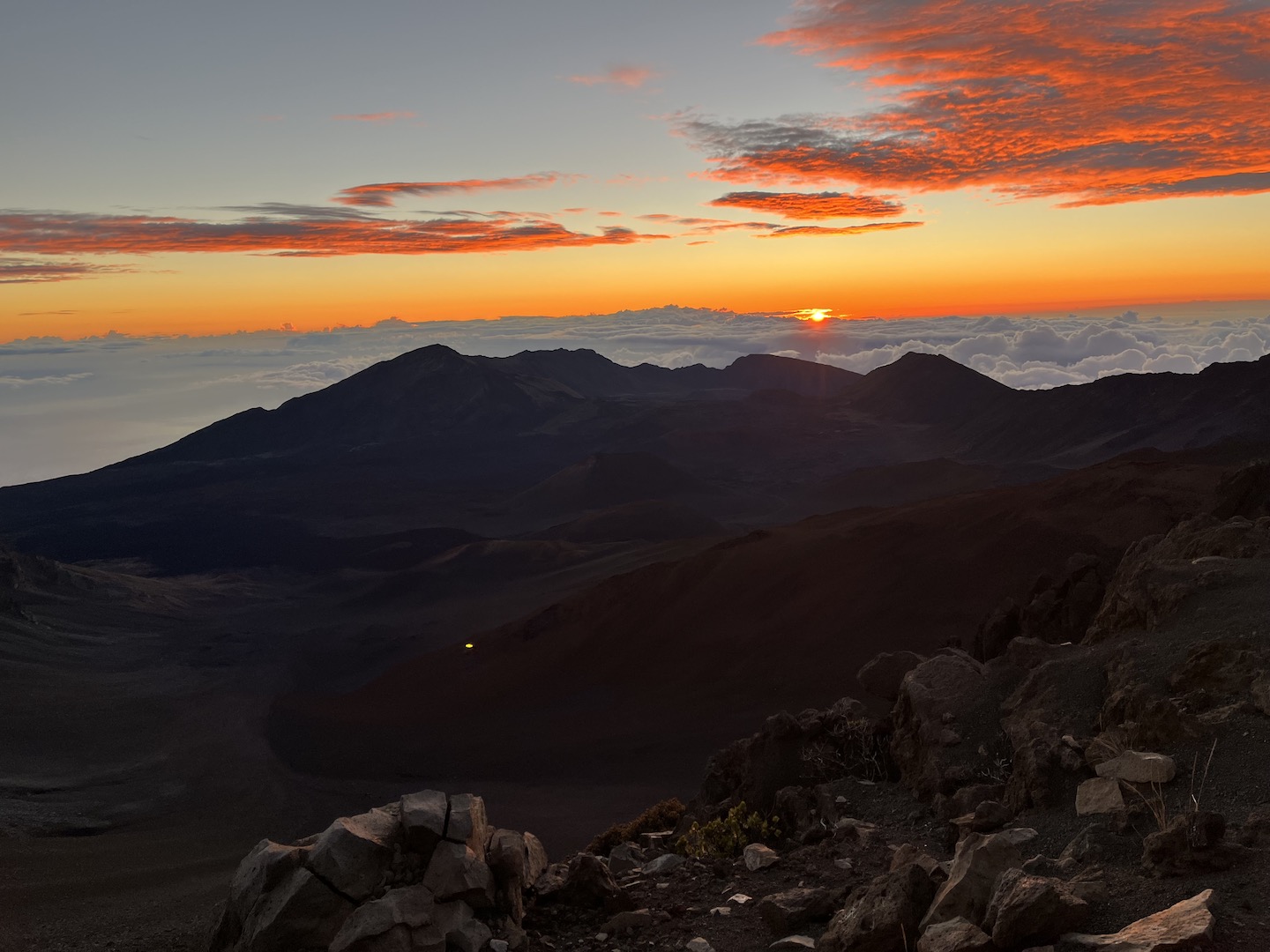
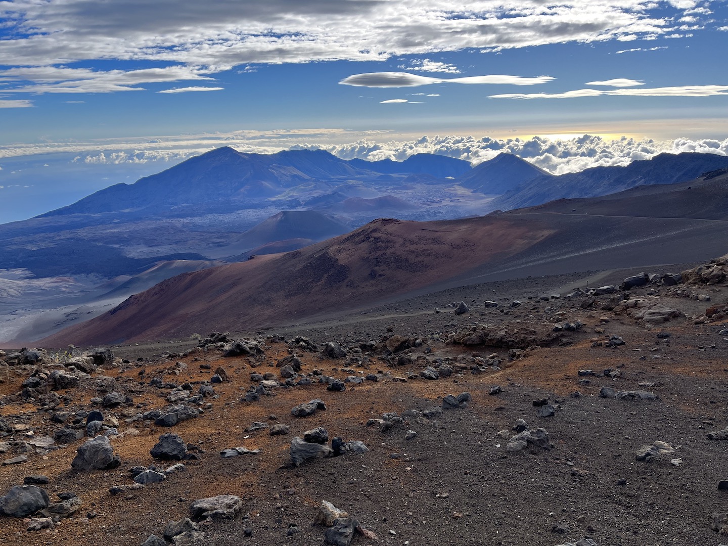
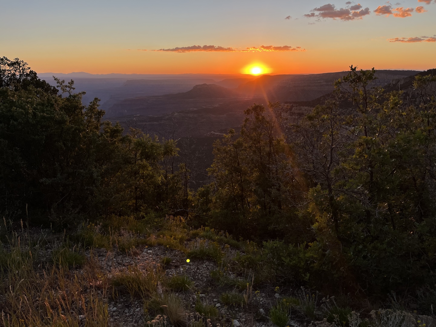
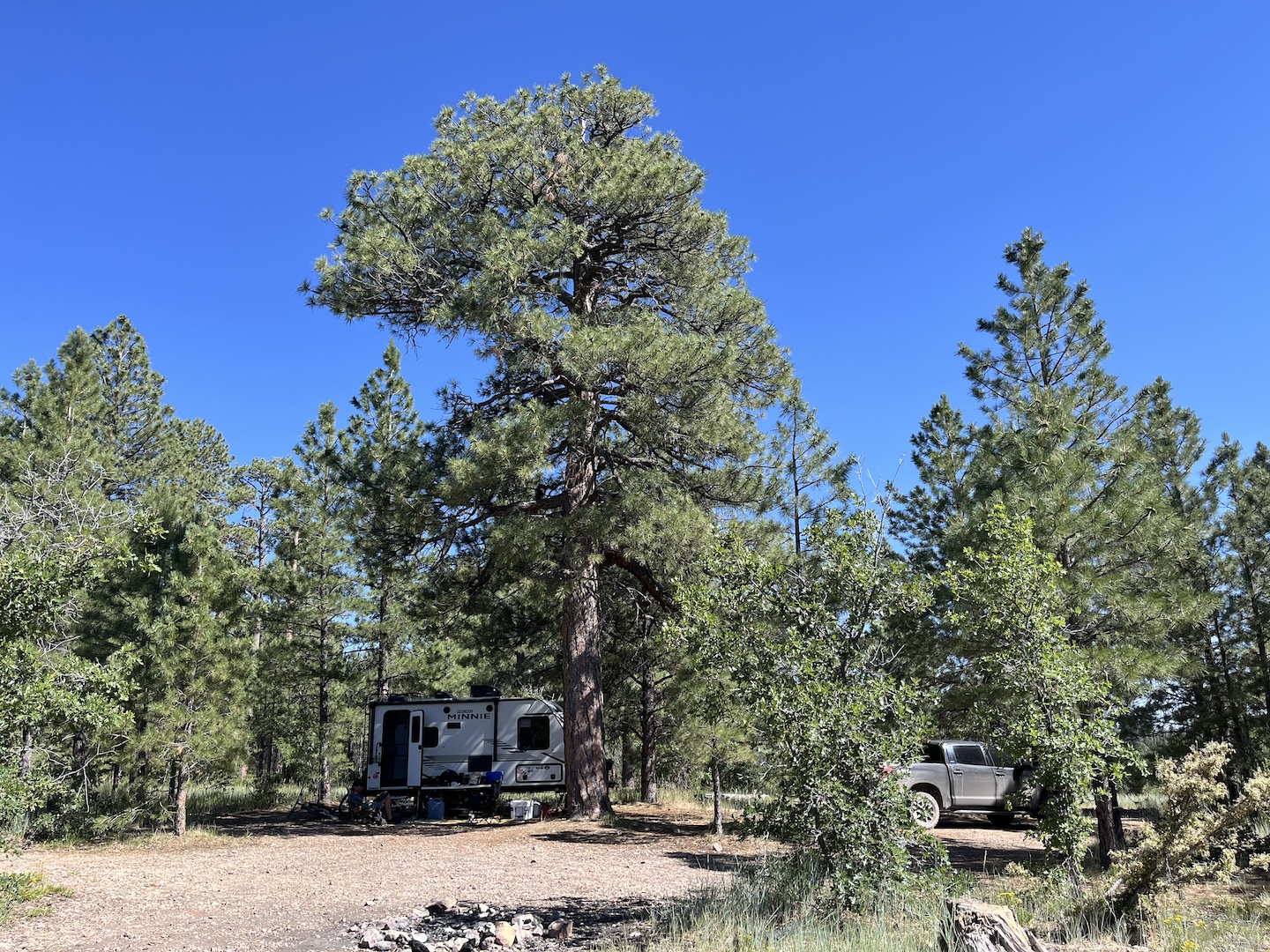
We ended up getting a spot right next to the rim. It was heaven on earth. We watched the sun rise, set, and everything in between over the canyon every day. There were a few people in the vicinity, but they were a little bit down the road.
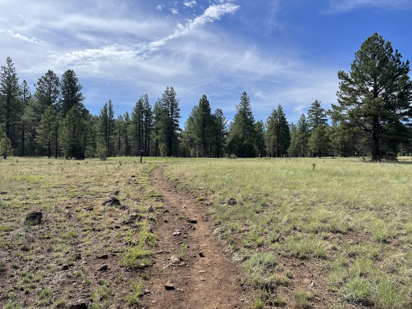
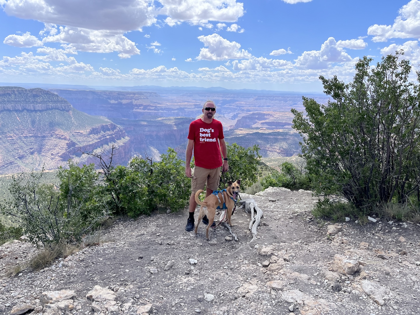
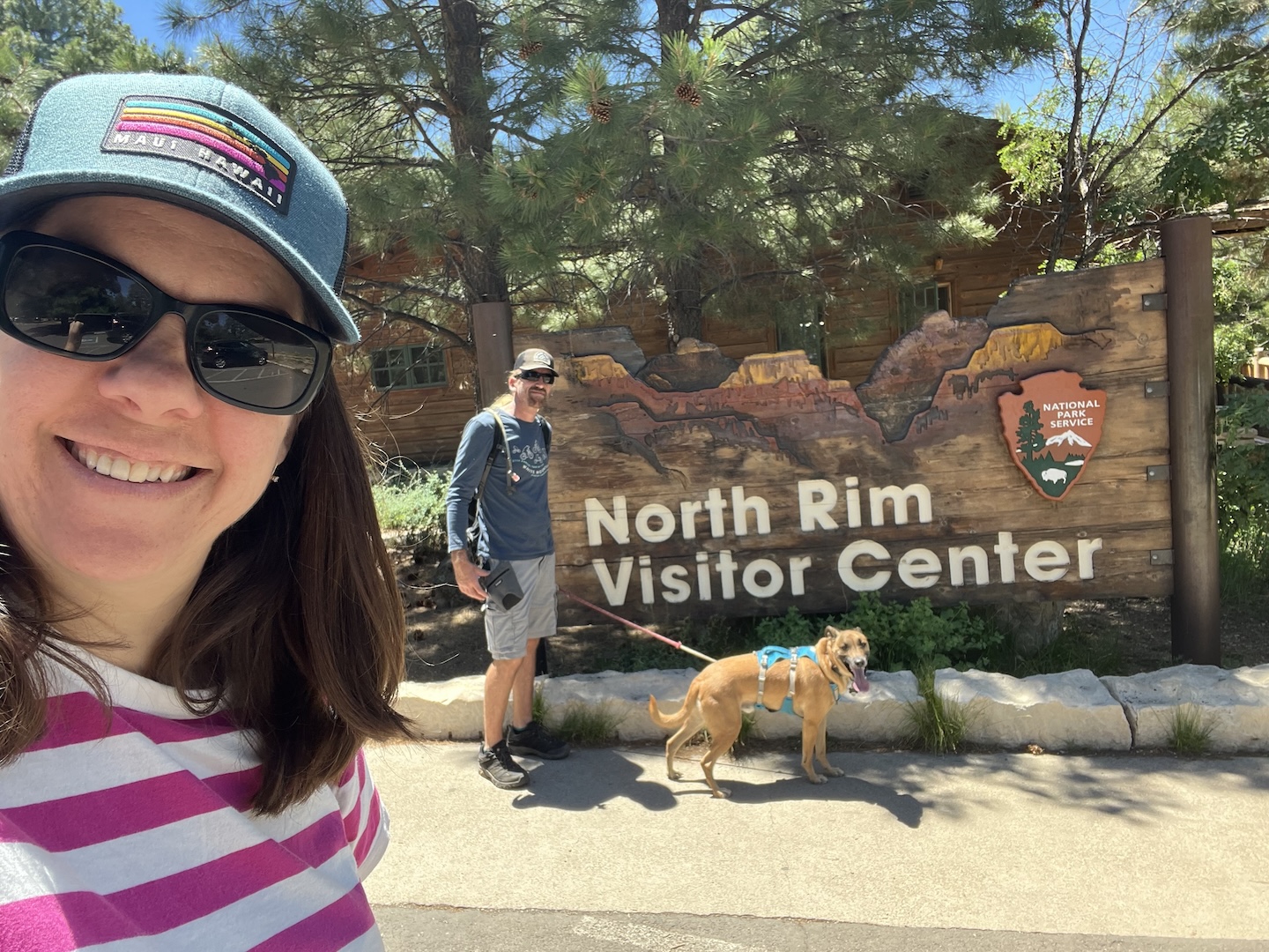
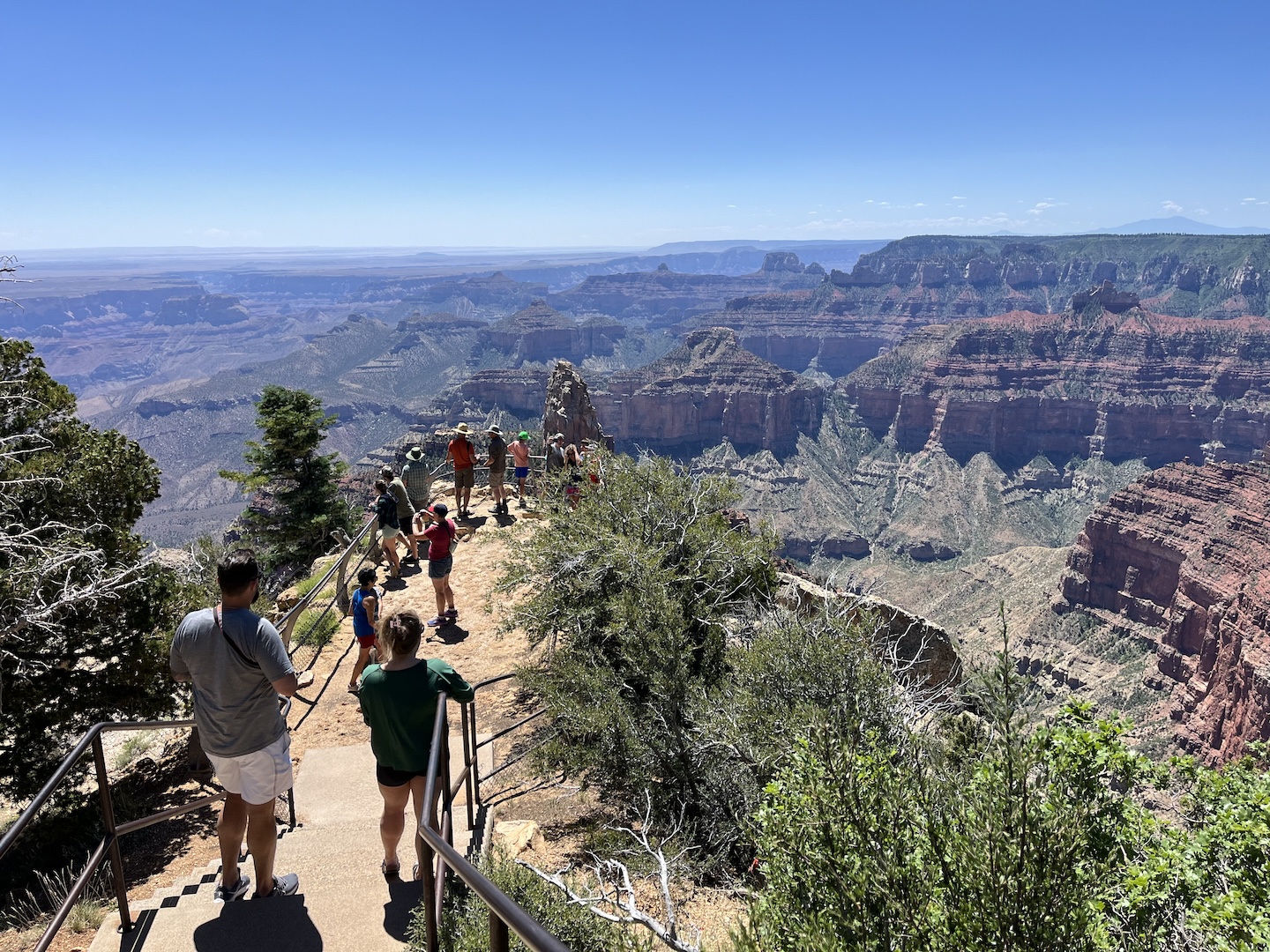
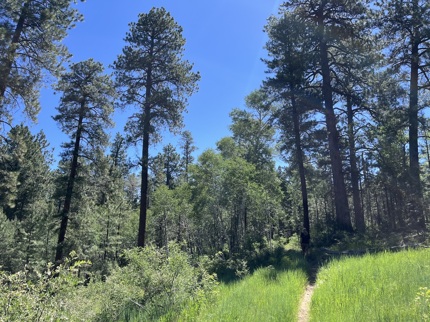
After a few days of solutude we headed into Grand Canyon National Park for a dose of civilation. Smokey was with us so we were limited as to where we could go, but it was still fun. We walked around a little bit, drove to some points we hadn’t previouslly been to, and then headed to the Arizona Trail to hike a little.
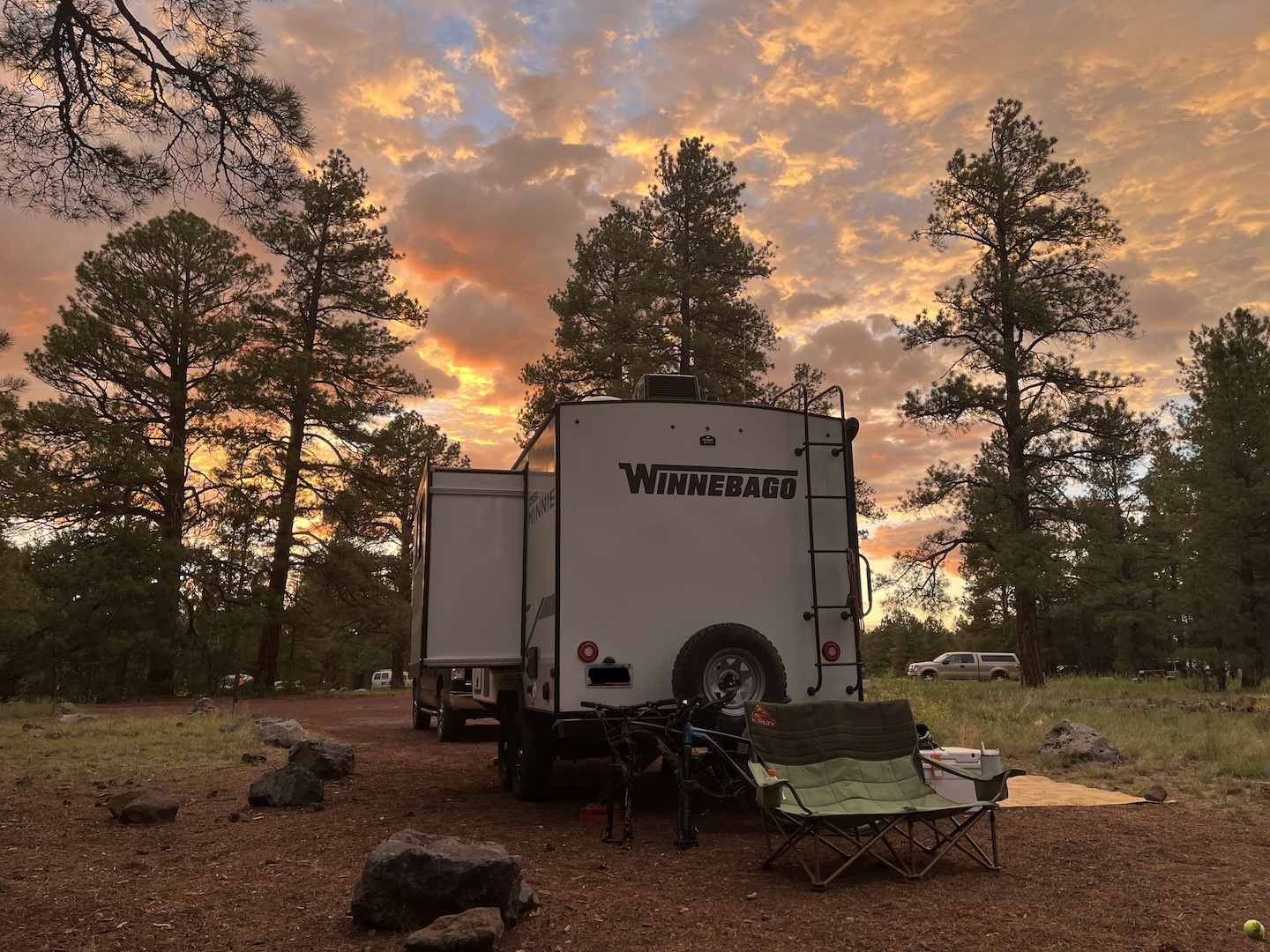
We had set up camp in the shade of a large tree. We spent the afternoons following the shade with our camp chairs and reading. One day I happened to look up at the tree and saw a huge lightning scar. ACK! (Several years ago we were camping during a thunderstorm and our camp was struck by lightning. Not a moment I would like to ever like to EVER repeat and lightning still makes me very jumpy.)
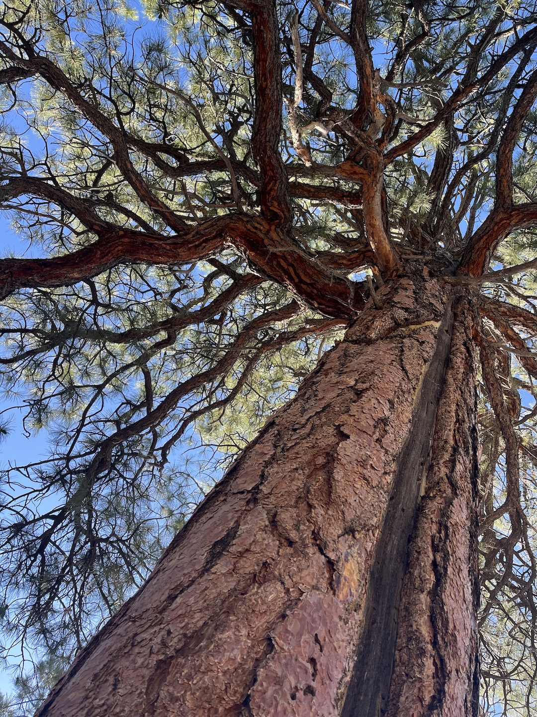
As I looked around I realized we set up camp under the tallest tree in the area right on the edge of a cliff. Not the smartest move. I immediately crafted a plan in my head in case a storm rolled in (get in the truck and drive away from tree and rim) which we fortunnatly did not have to enact.
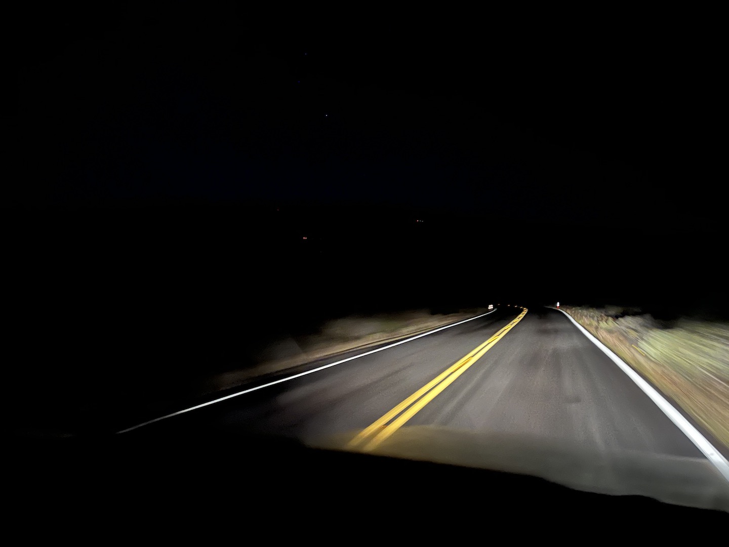
The wind picked up pretty significantly our last evening at camp. We went to bed around 10pm and woke up at midnight to someone knocking on our door and shouting. My immediate thought was we’re either being murdered or there’s an emergency. Fortunantly for us, we were not murdered but for sure not an ideal wake up. There was a very strong smell of smoke in the air and our neighbor wanted to alert us to the situation as he was leaving. It was very kind of him to wake us up, truly. After quickly assessing the situation, we decided to follow suit and leave as well. We were in a very remote location with no cell service and at the dead end of a single road out. When we went to bed at 10pm there was no smell of smoke in the air and two hours later it was very strong. I’ve never packed up so fast in my life.
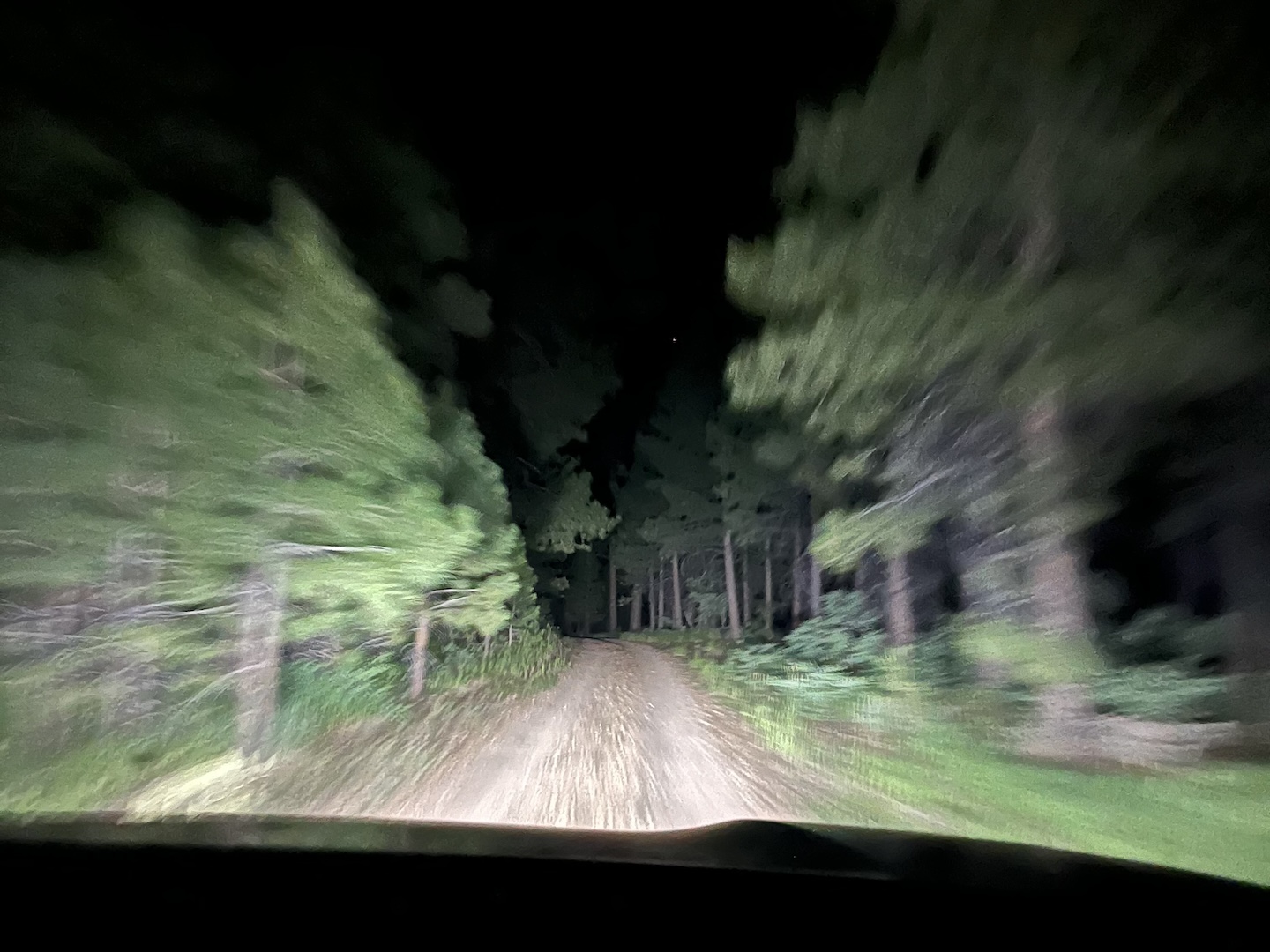
As we were driving back towards the main road, we pulled over to let the one other vehicle we saw pass us (we were towing and they were not). They stopped next to us and we chatted for a few minutes. They were also camping in the area, not near us but in the same forest area, and also left due to the very strong smell of smoke. The fact that people in a different area from us also were concerned helped us feel better about our decisions to leave. In a situation like that you never know if you’re overreacting but based on where we were, there isn’t a lot of room for error should there actually be a fire in the area. Better safe than sorry.
We ended up sleeping on the side of the road near the Jacob Lake Inn. We weren’t supposed to sleep there but I didn’t care. It was 2am and we had no where else to go. The next morning we drove back to Flagstaff.
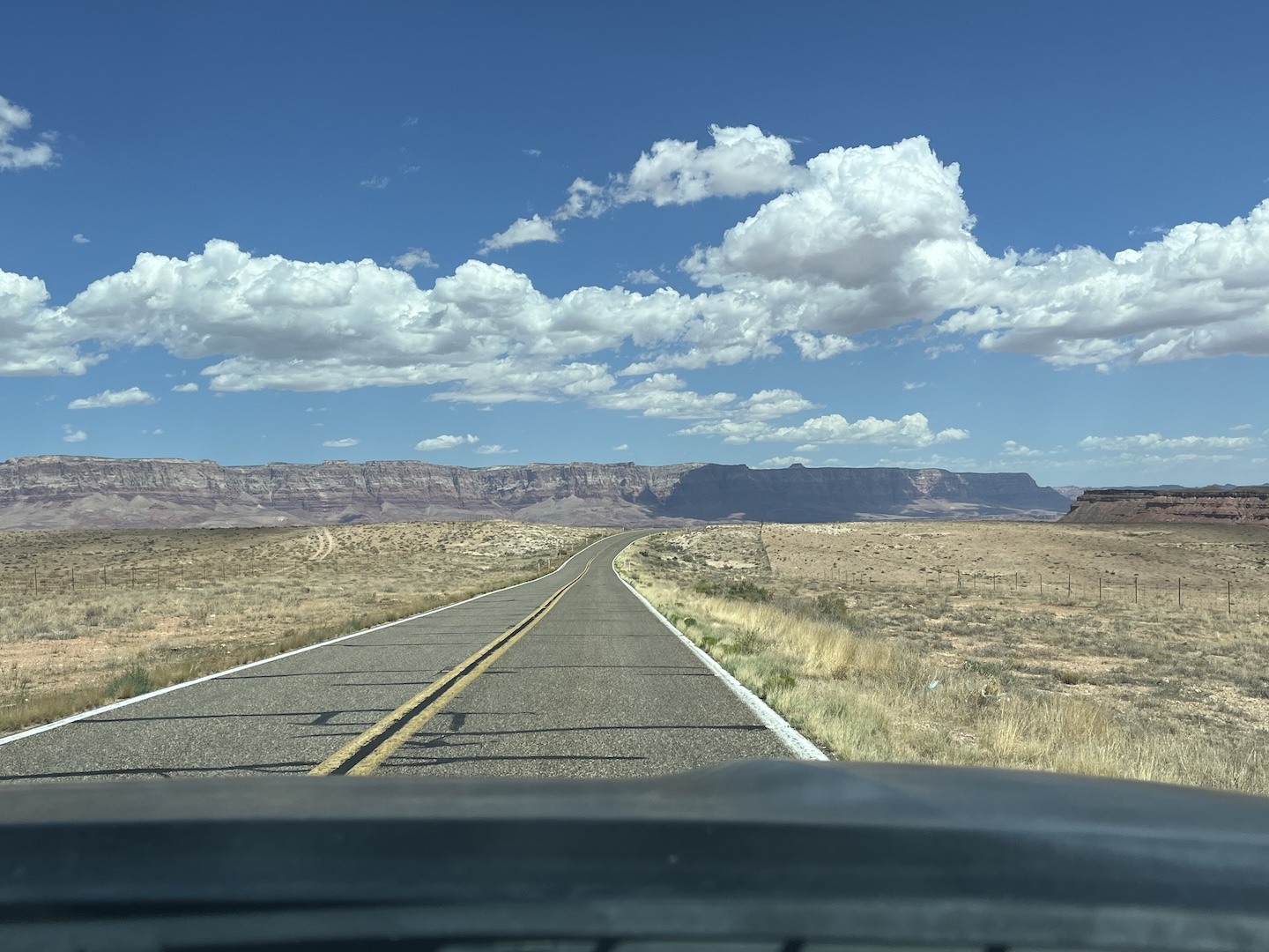
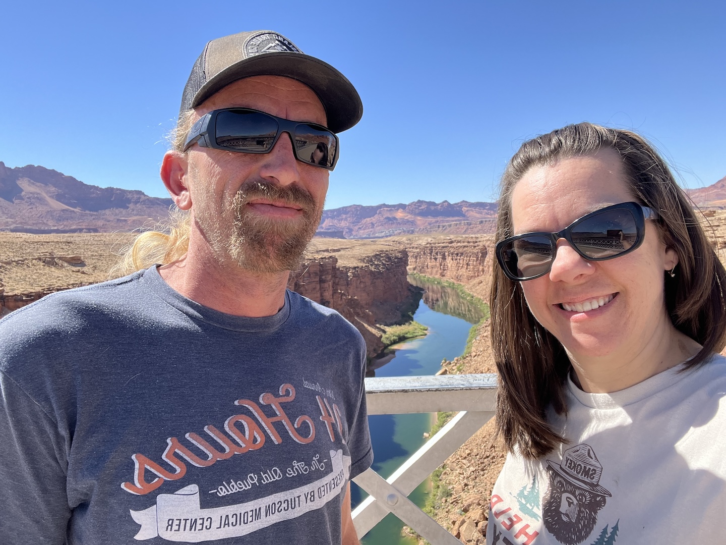
We stopped at the Navajo Bridge on our way to Flagstaff because why not. It’s a quick stop and so pretty.
Overall this was an enjoyable trip. We took our dog Smokey and thought he’d love 10 days of camping. Turns out he prefers weekend trips. The first few days he wanted to be outside but after that he was either on a walk or in the camper napping on our bed. He’s such a goofy dog. Love him to death though.