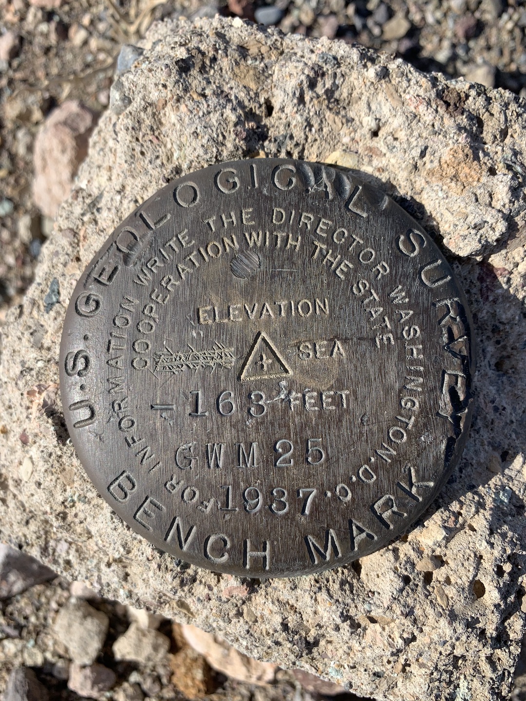
Death Valley National Park
If I’ve learned nothing else from this past year, it reminded me how important it is to do the things you want while you can. As such, my travel list has grown substantially. It’s possible all this time at home has provided extra time for wanderlust and list creating.
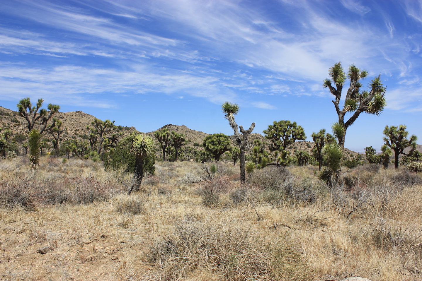
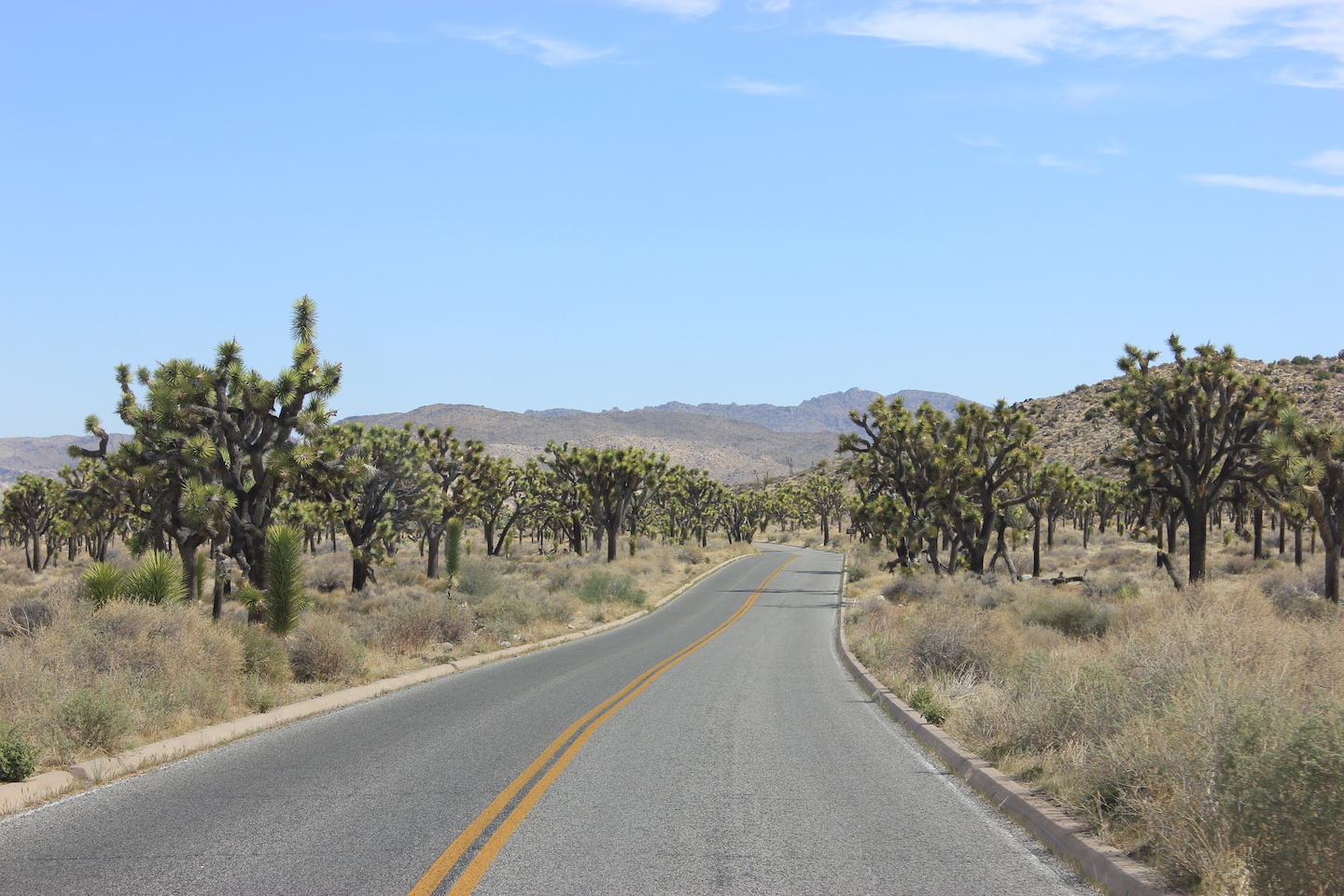
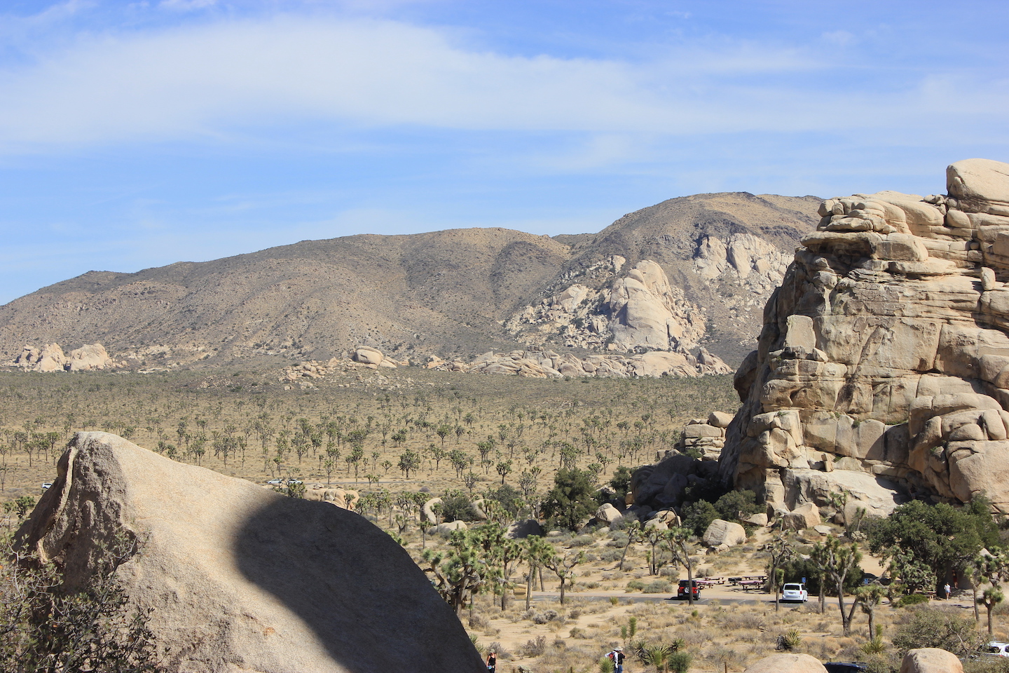
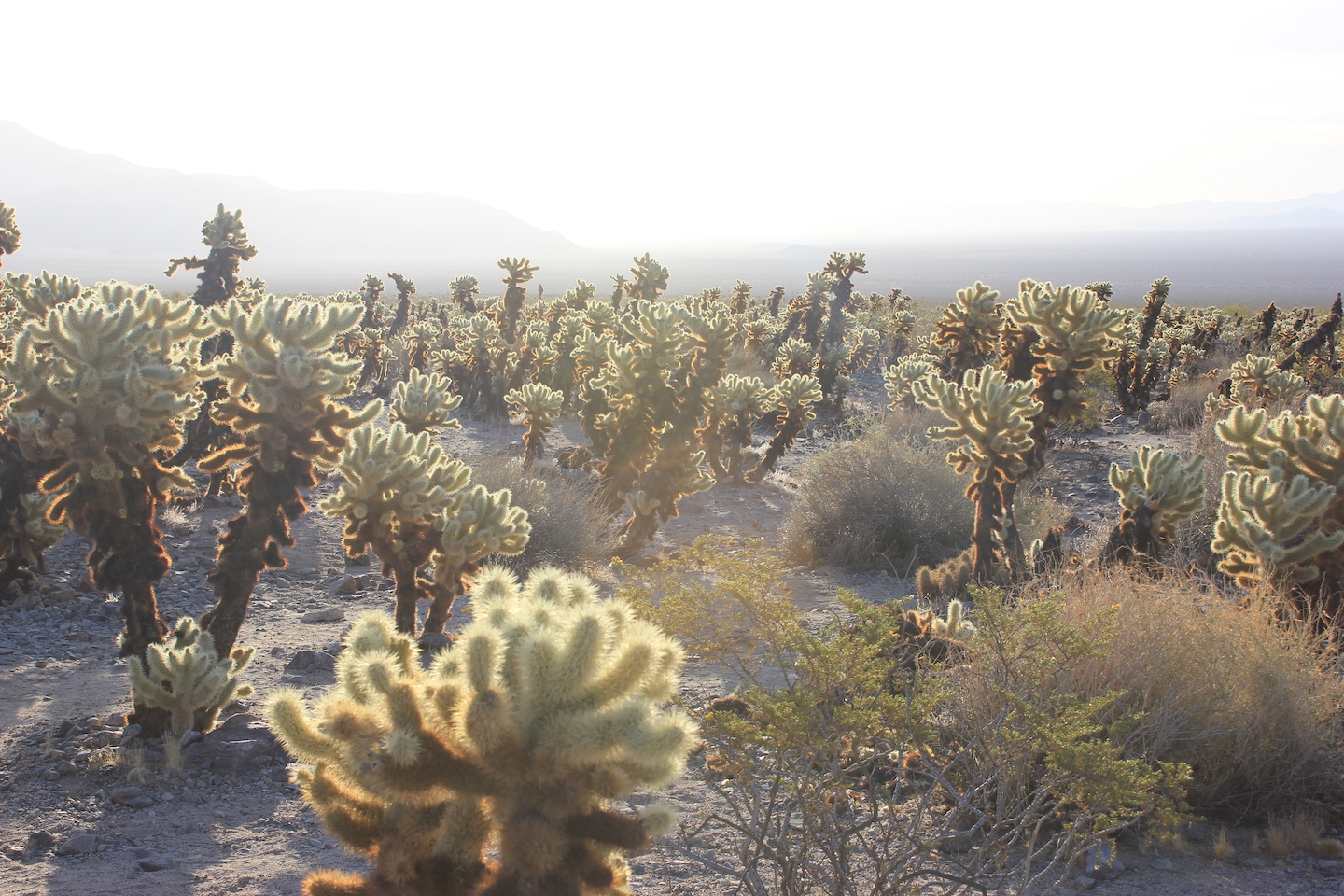
Death Valley National Park was on my list because it’s a national park but it was never a priority. The hottest place on earth? Meh. I mean, what’s really great about that? Boy was I wrong! Death Valley is so cool! We were there for three days and only scratched the surface. Little Miss was supposed to join us but ended up having a conflict so we brought a couple friends. Traveling with friends is so much fun! We arrived in the afternoon and tried to squeeze in a few sites before dark.
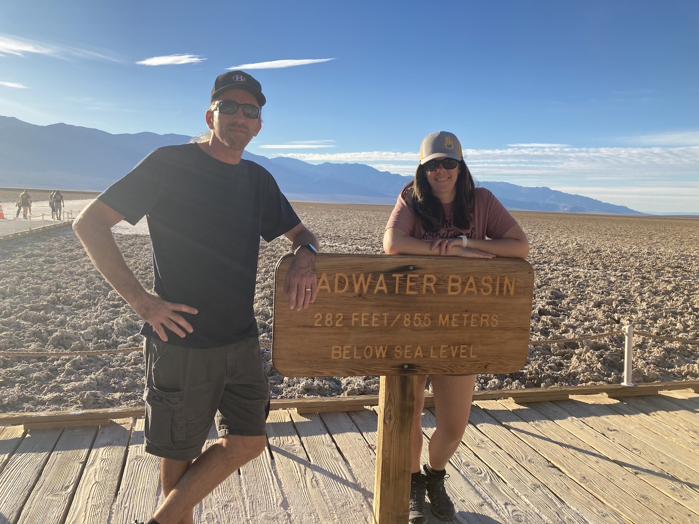
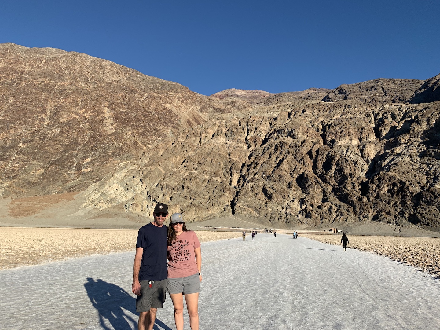
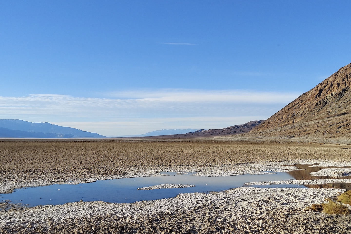
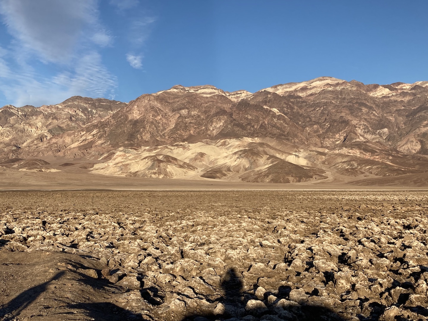
At 282 feet below sea level, Badwater Basin is the lowest point in North America. The area is covered in salt flats that you can walk out on. We walked out a ways but the scenery wasn’t changing so we turned around. Apparently we stopped too soon and if you walk out farther the salt flats start to get really cool. Next time.
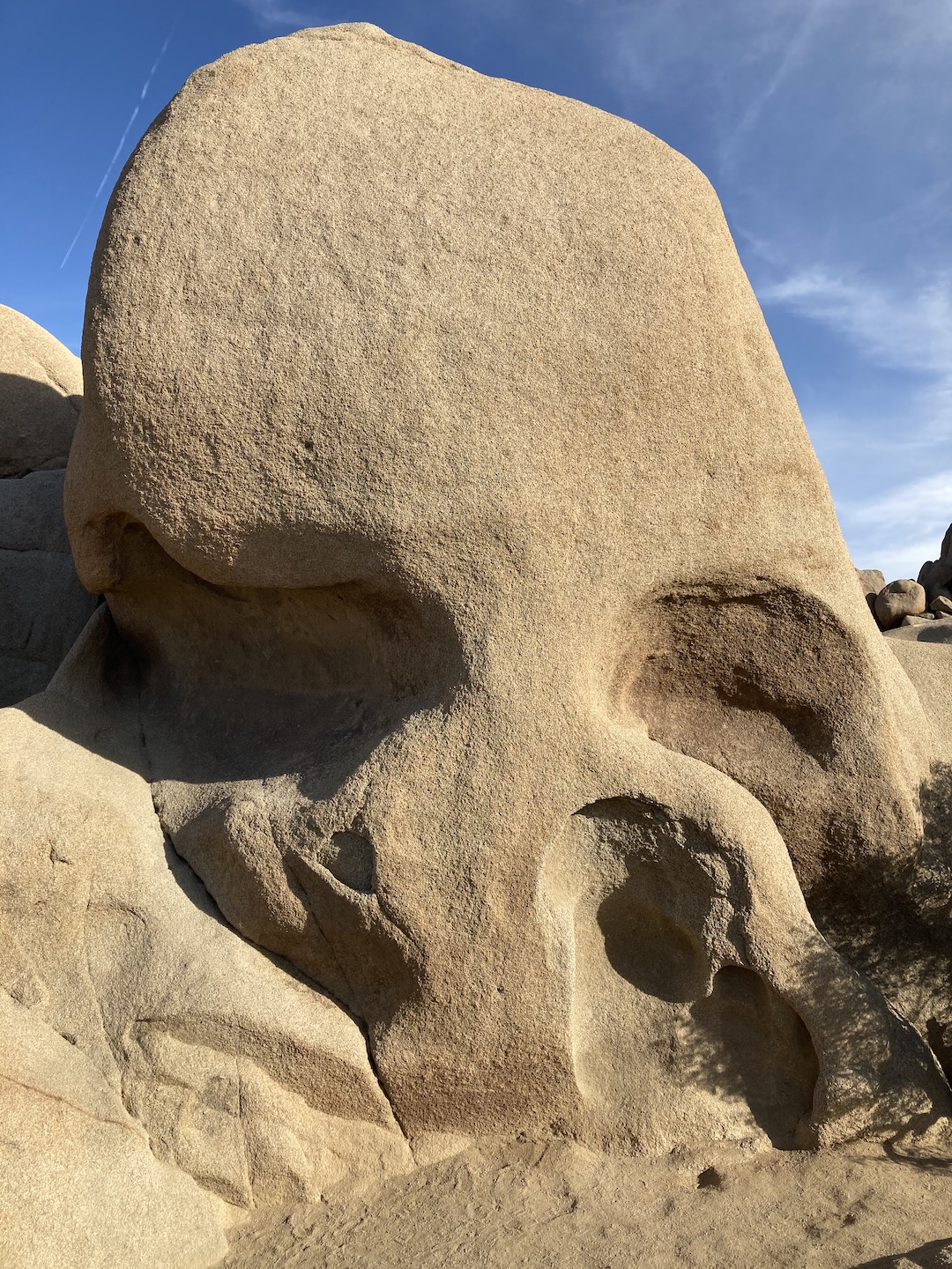
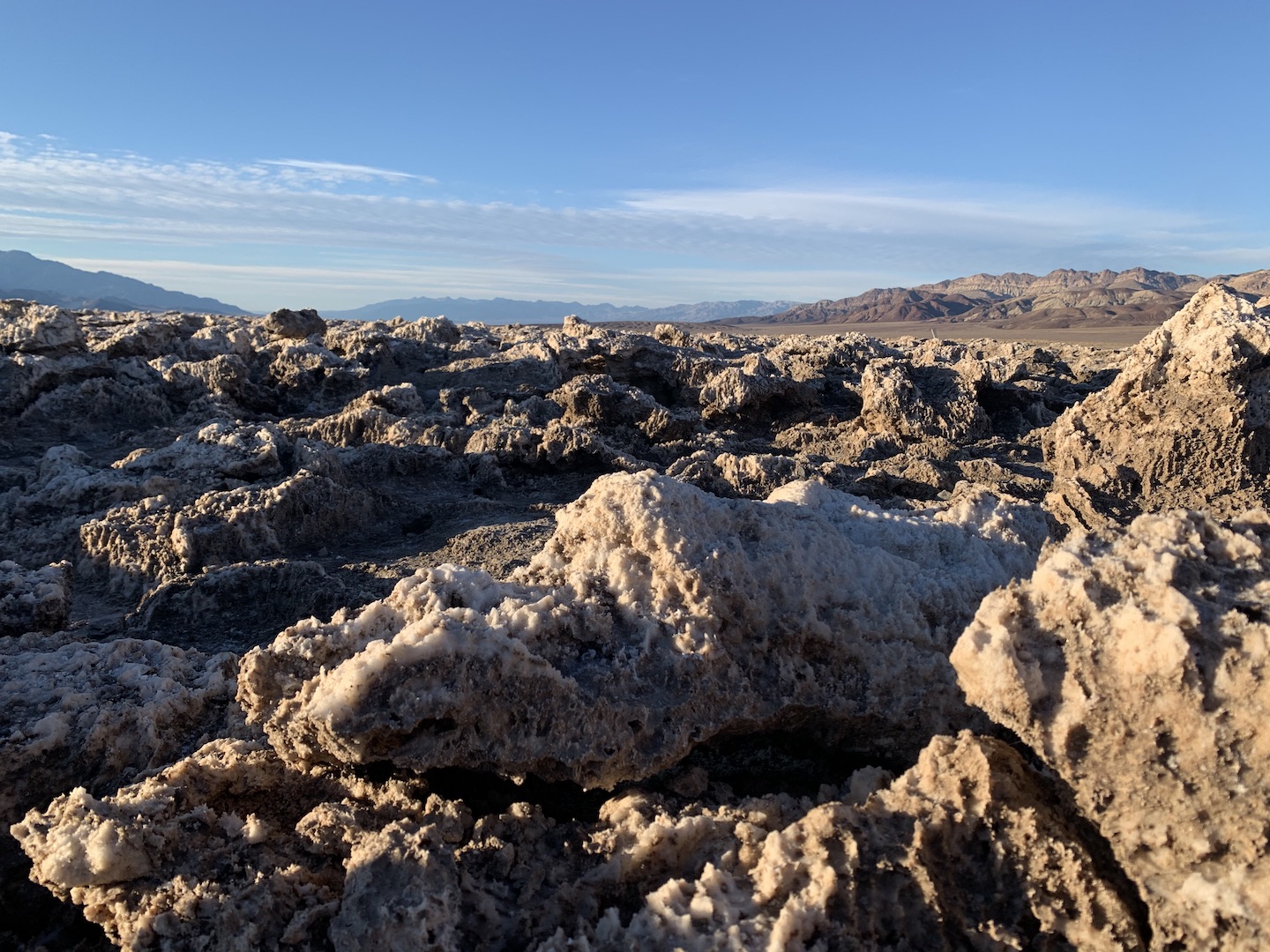
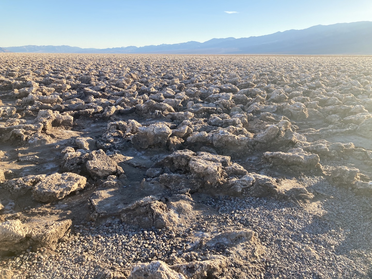
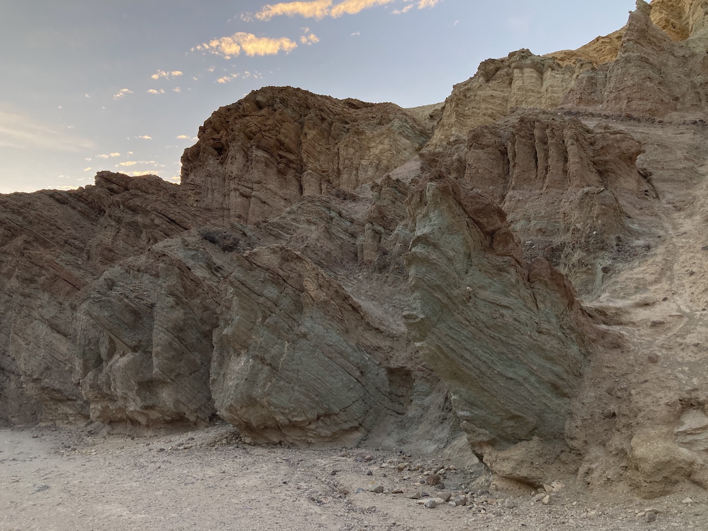
Right next to Badwater Basin is the Devil’s Golf Course. We almost didn’t stop here and I’m so glad we did! Pictures do not do the area justice. Those are not rocks but rather rock salt that has been eroded by wind and rain to create the jagged spires you see. They are fascinating to see in person!

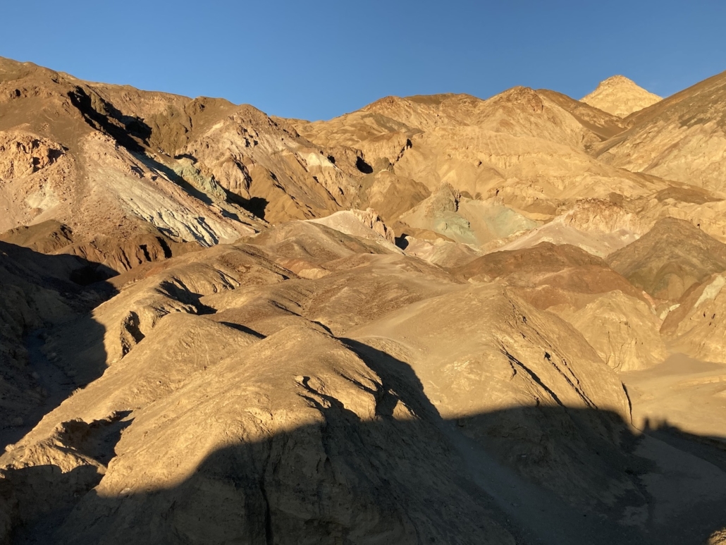
As we worked our way back to camp we drove Artists Drive Scenic Loop. It’s an 8.5 mile one way drive that winds through hills splashed with different colors.
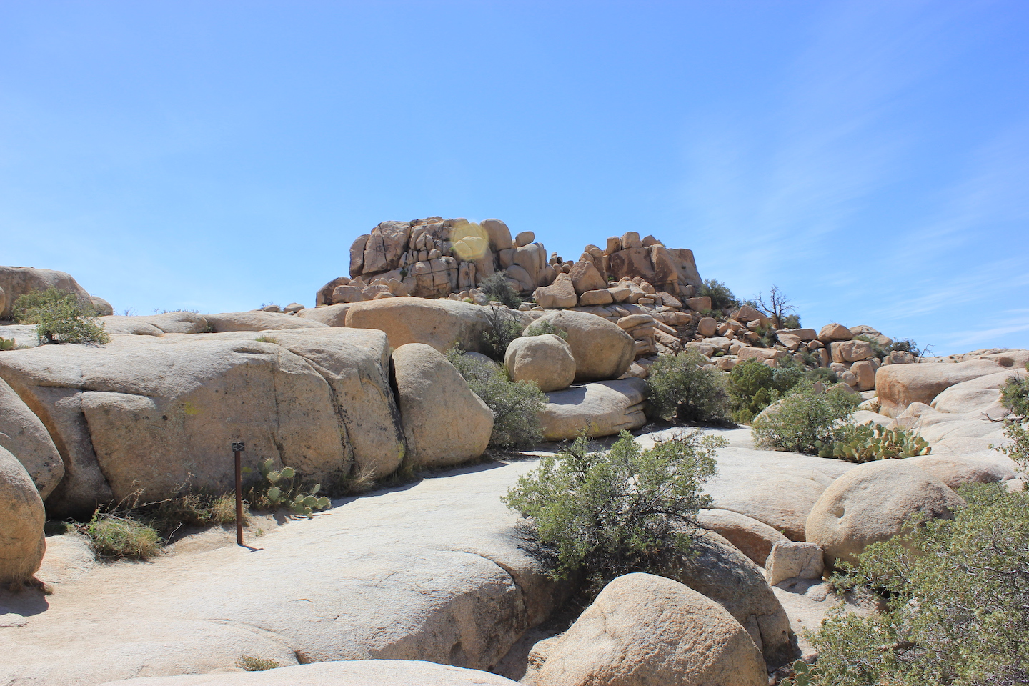
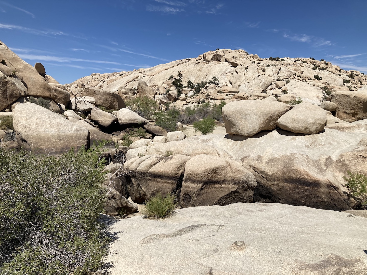
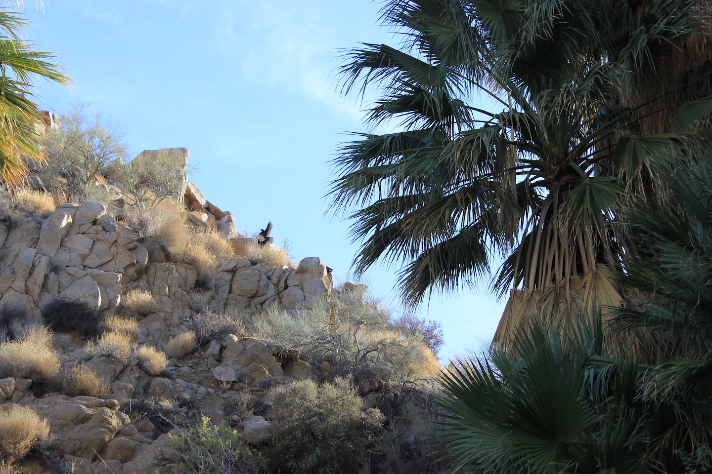
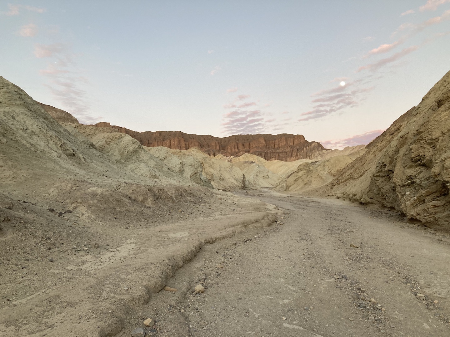
We had a little bit of daylight left after we finished the scenic drive so we stopped at Golden Canyon. We didn’t get very far in but what we saw was so cool. Apparently Star Wars was filmed in the some of the canyons back in the day and Golden happened to be one of the locations.

DAY 2
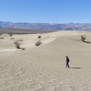
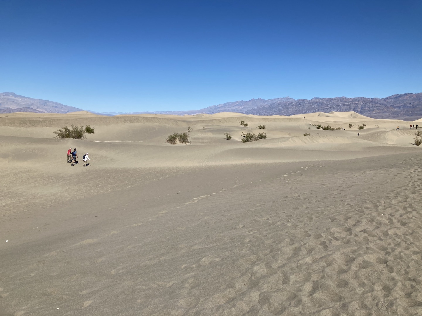
Our goal for the morning of Day 2 was the Ubahebe Crater and we stopped at the Mesquite Flat Sand Dunes on the way. If you haven’t been to sand dunes before, they’re similar to Las Vegas. Everything looks close but you soon find out your destination is miles away.

We planned to hike to the highest dune at only a mile away. Easy peasy, right? Not! We got 1/2 or 2/3 of the way there and decided we were good. The constant up and down sand hills is tiring. The dune we were going for is the tallest one you see in the right side of the picture below.
We read that it’s best to visit Ubahebe Crater earlier in the day as the wind picks up in the afternoon. That’s not a joke. We left camp later in the morning that planned so by the time we made it to the crater is was close to lunchtime. The wind is legit and was making it so hard to walk. You can walk around the entire crater but we opted for only a short section. Pictures do not do the crater justice. It’s huge and so cool in person.

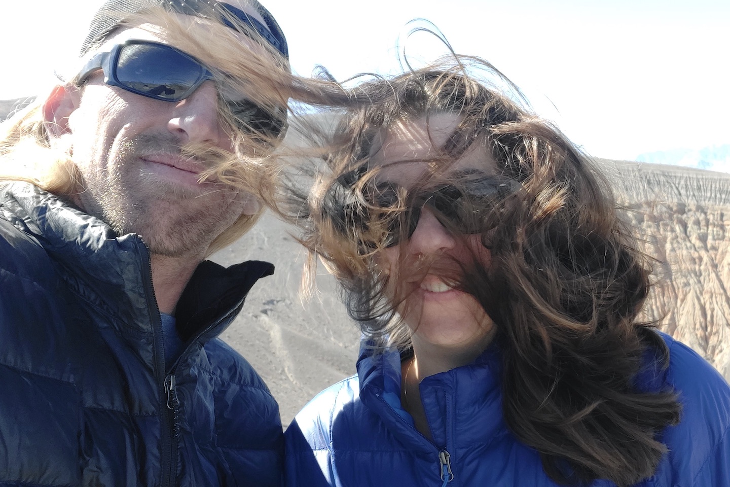
The picture below is an accurate depiction of how windy it was. We planned to have a nice picnic lunch on the edge of the crater but instead huddled behind the truck in the parking lot.
If you are planning to visit the crater, the turn off of 190 is not well marked. We were traveling north on 190 and completely missed the turn off. Next thing we know we were at the sand dunes, which at this point we didn’t realize are after the turn off. Once we left the sand dunes we kept on driving and eventually realized we were driving west, towards the other exit of the park. Nothing like adding a bunch of unnecessary miles to the day!
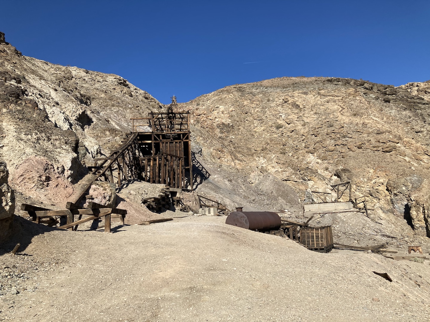
After lunch we worked our way back to camp and stopped at the Keane Wonder Mill & Mine. It was a gold mine in the early 1900’s and we spent some time exploring the area. I love seeing bits of history and imaging what it would be like to be alive during that time. I cannot, however, imagine mining in Death Valley pretty much anytime of year.
After our mine exploration we headed back to camp. The boys had to do a little camper maintenance (change a broken leaf spring on a trailer) and they needed enough daylight to get the task done. Once the sun set, we watched a movie outside. Is there anything cooler than watching a movie outside while camping? I think not.
DAY 3
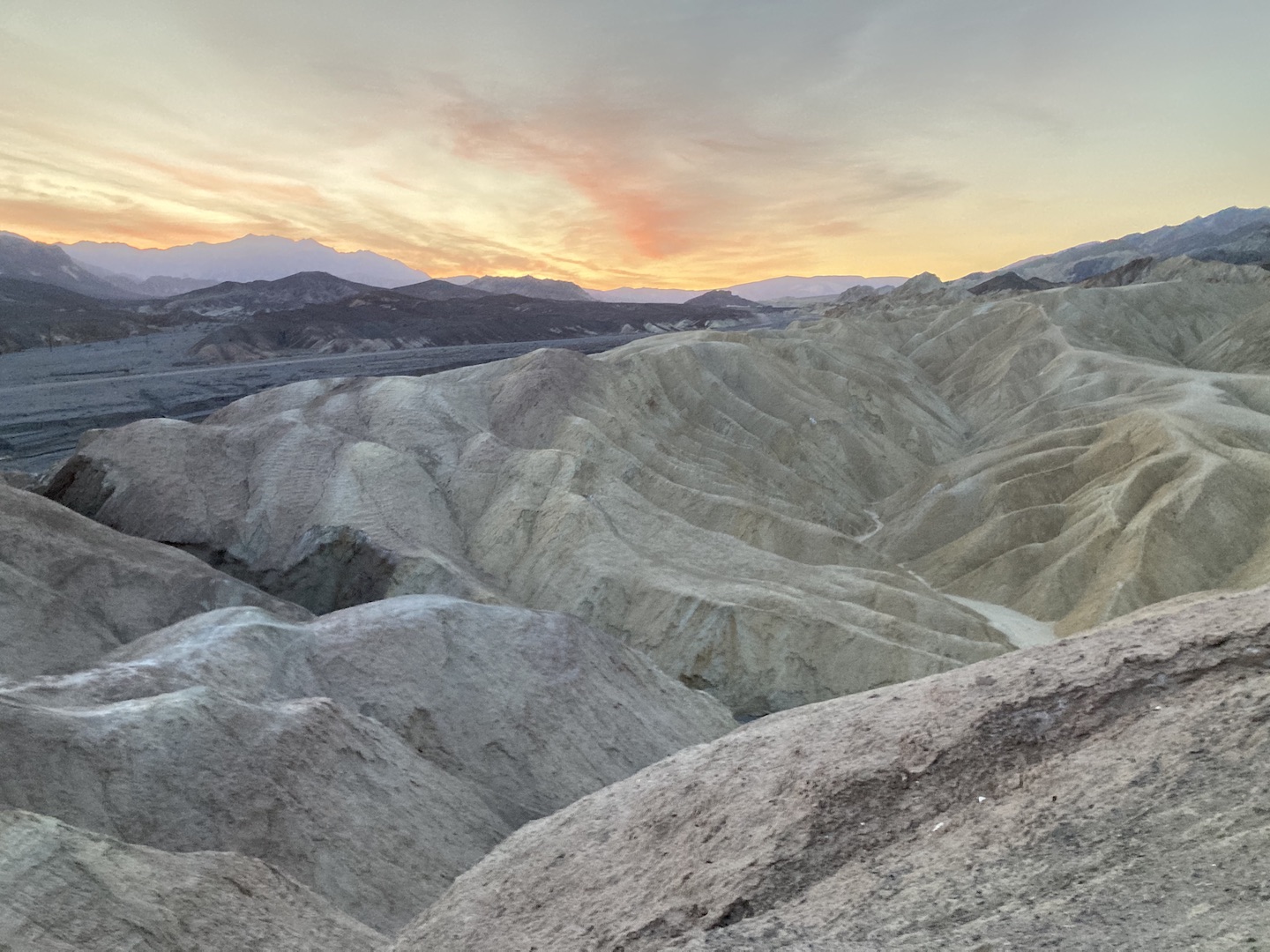
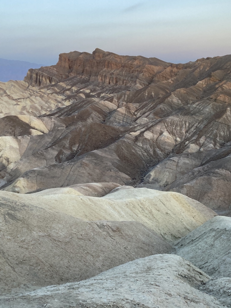
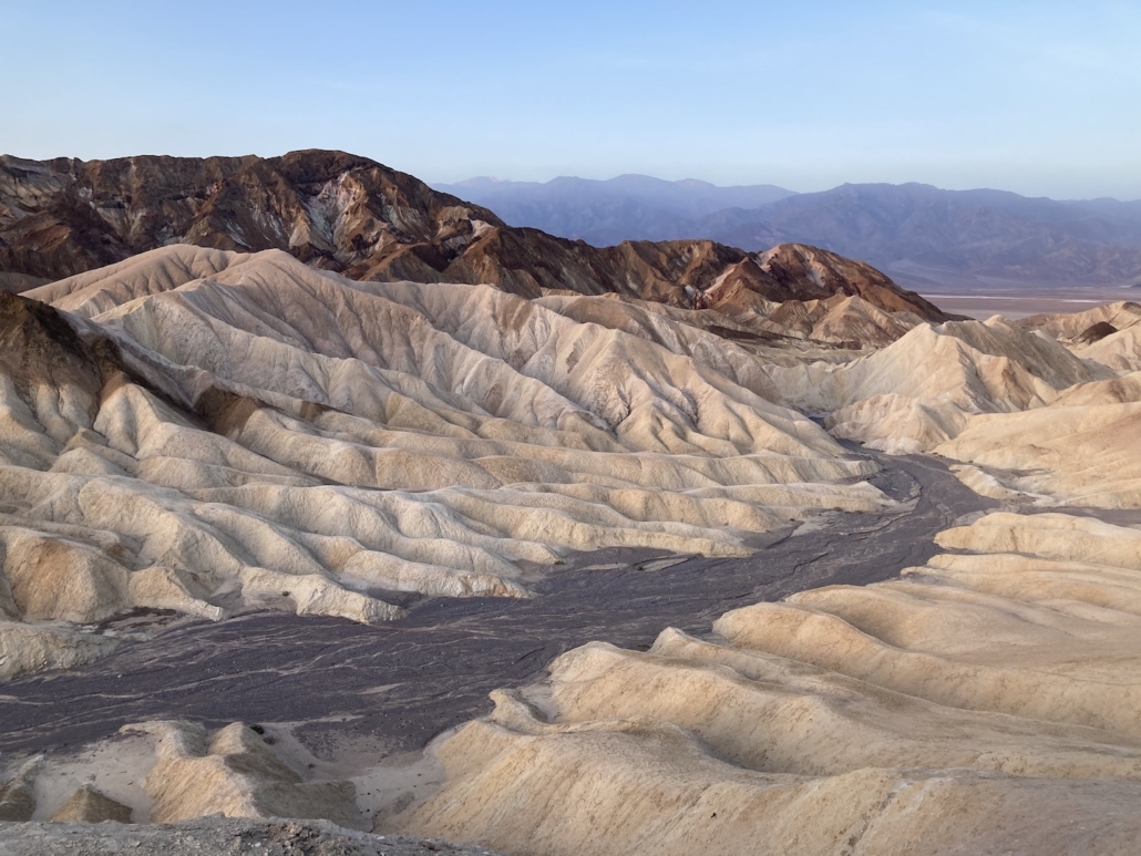
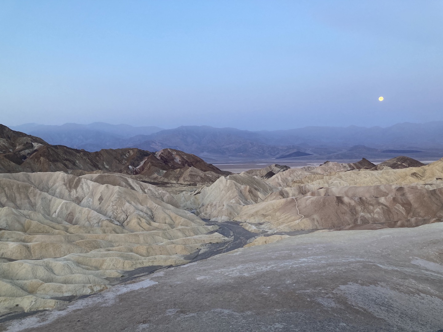
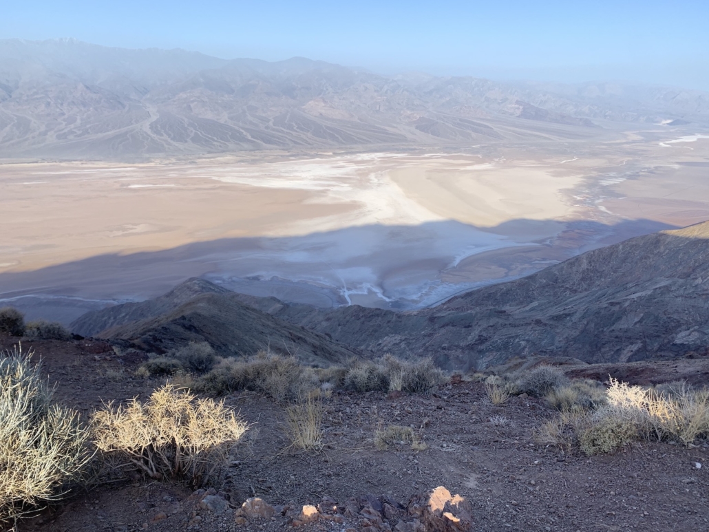
On our third day and final day in the park, we got up early to watch the sunrise at Zabriskie Point. It’s a short walk from the car but a very popular destination. Get there early to ensure a parking spot. This view of Death Valley is stunning. Even if you don’t get here for sunrise, be sure to stop by.
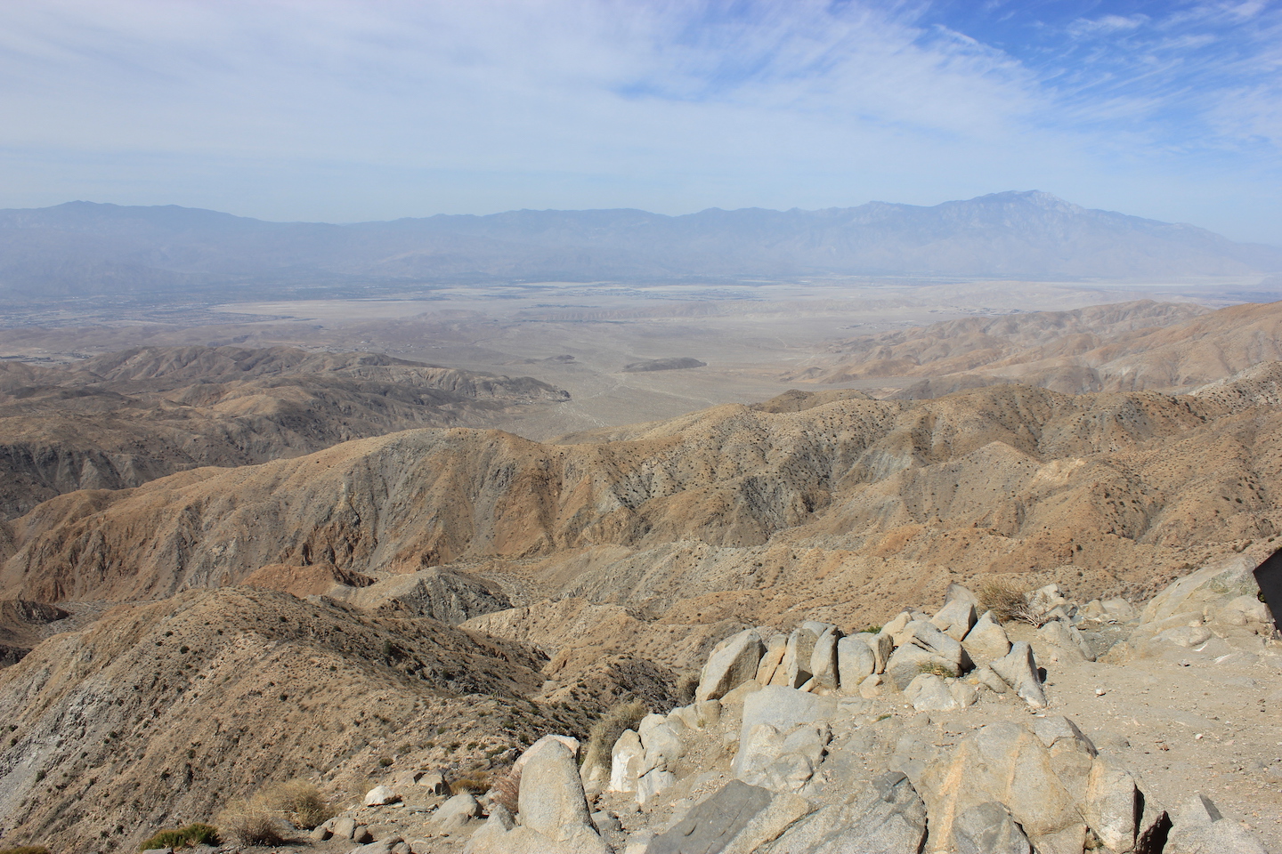
Our next destination was Dantes View, a viewpoint 5,500 feet above the valley floor. On the way, we drove through the 20 Mule Canyon which was a fun little side trip. Dantes View is 25 miles from Furnace Creek and not really worth the drive in my opinion. The view was nice but the drive was long and it was really windy up there. Personally, I’d rather have spent that time exploring the other areas of the park.
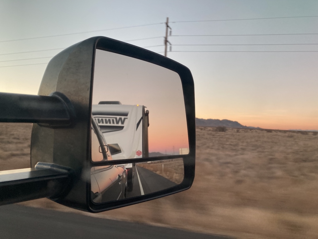
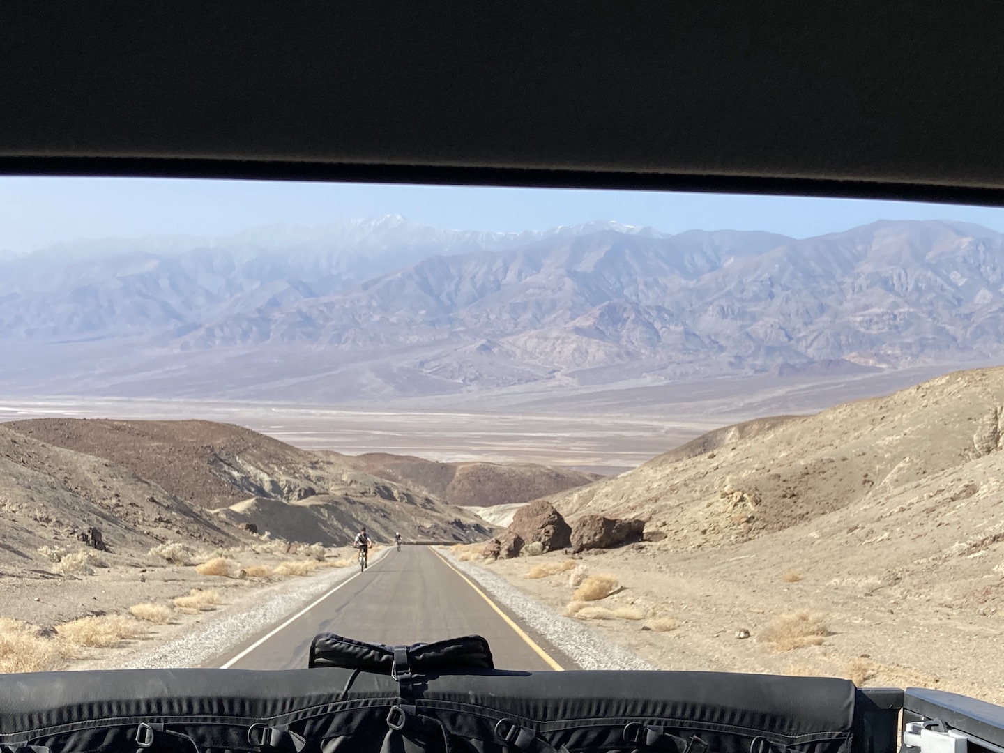
Next up, the boys wanted to ride Artist Drive so we picked up their bikes and dropped them off. Man, that road is steep! The picture below is one of my favorite from the trip. I was driving up the road and looked in my rear view to see this image. So I stopped and took a picture.
And they rode their mountain bikes which makes it extra hard. But now they can say they rode in Death Valley!

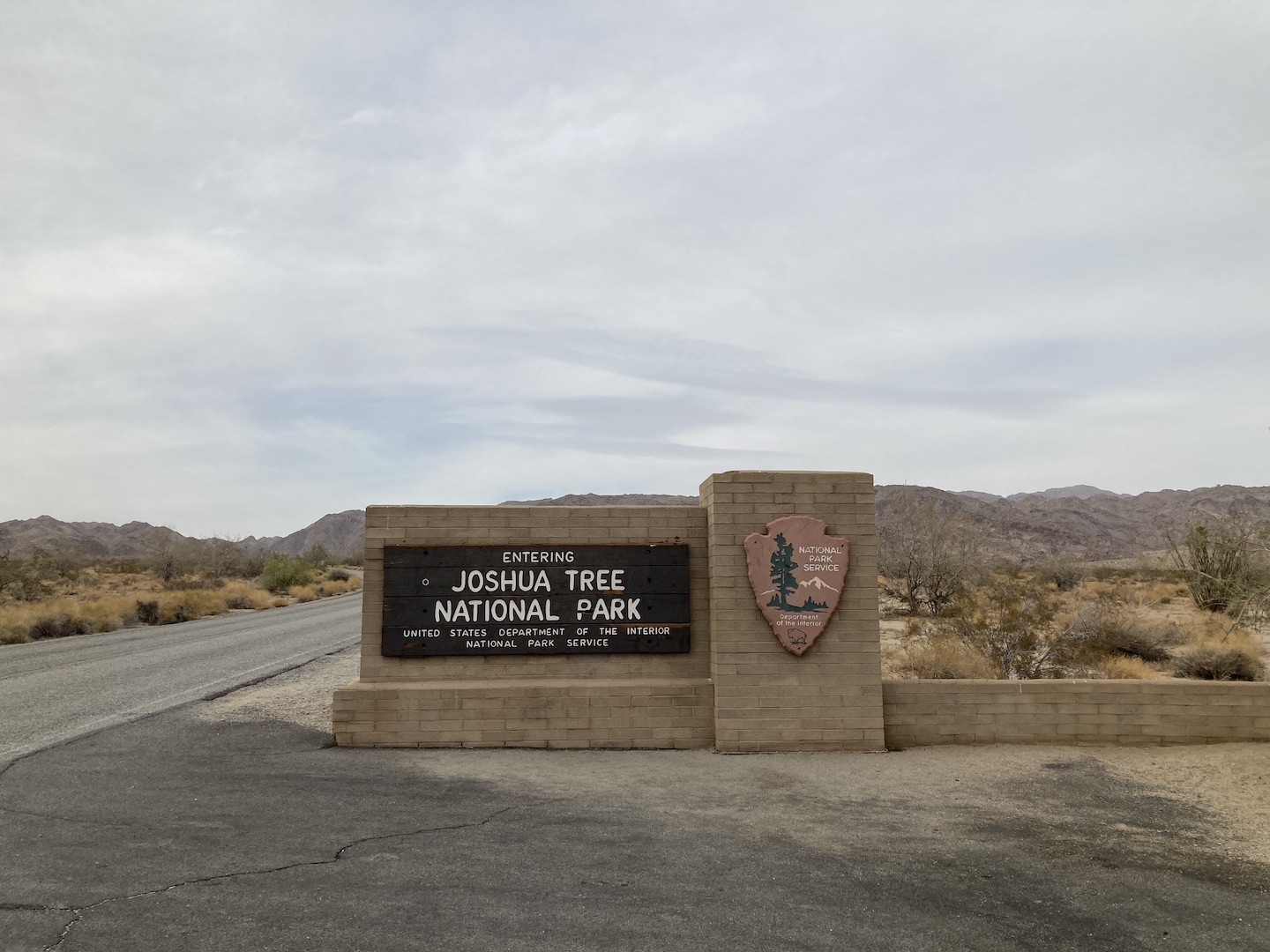
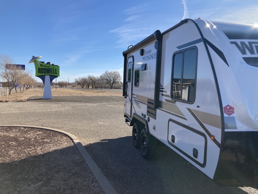
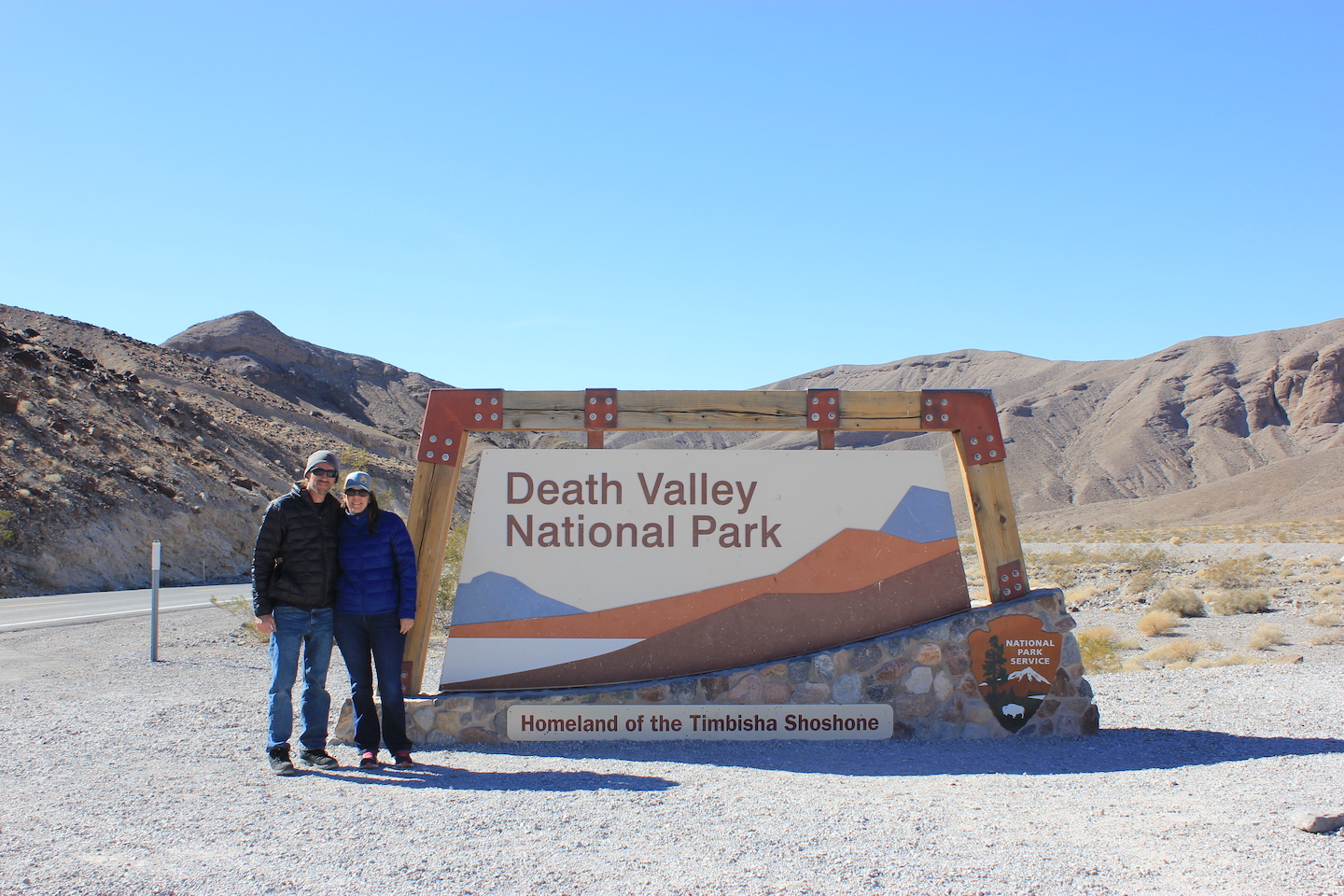
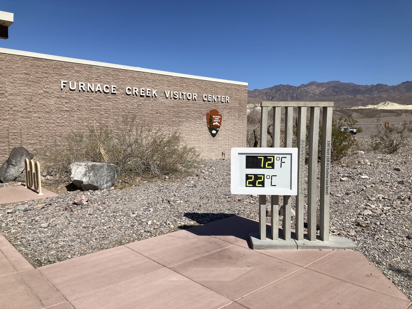
We visited in February 2021 and unfortunately, the Visitor Center was closed due to the pandemic. But we did get to see the iconic sign! The temps were perfect when we were there.
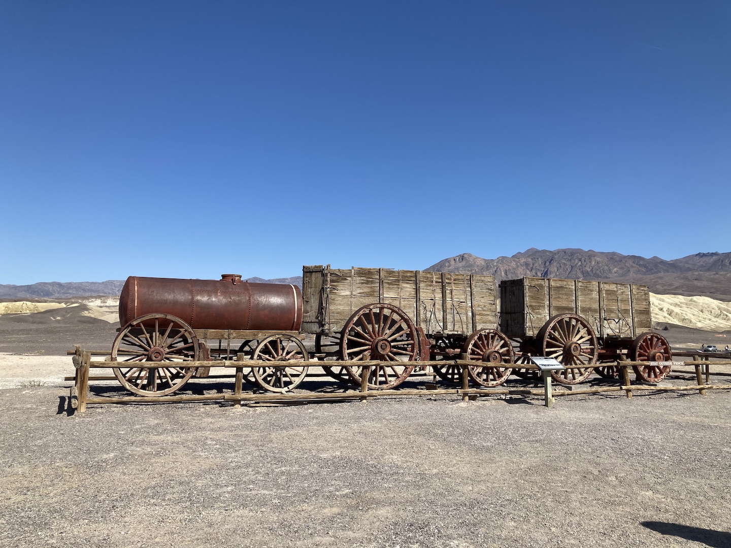
Our last stop was Harmony Borax Works. I had no idea borax is mined in California nor what it’s used for other than my favorite ant bait, but now I do! Borax was found in Death Valley in 1881 and a plant built shortly thereafter. The borax had to be hauled from Death Valley to the nearest railroad. They filled wagons, like the ones in the picture below, full of borax and then had 20-mule teams haul it 165 miles to the railroad. You know how on your box of borax is says 20 mule team and has a picture of mules and wagons? Now you know where that came from. Just another one of the many reasons I love national parks.
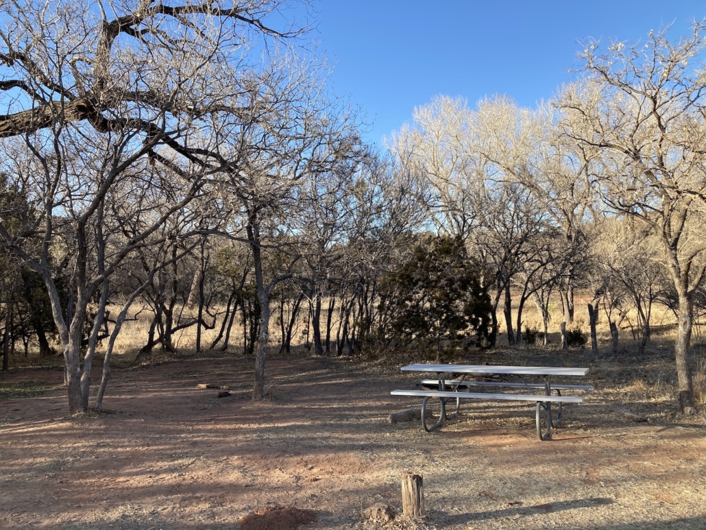
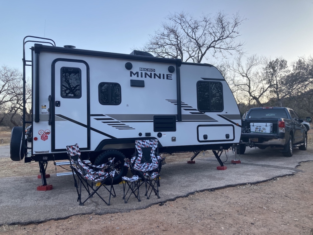
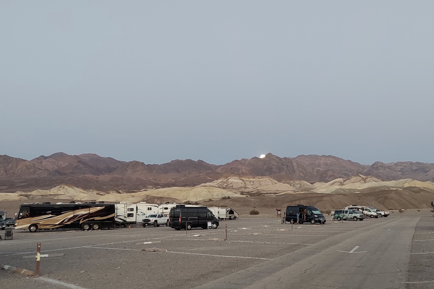
Unfortunately, our time in Death Valley had to come to an end but we will be back. There is still so much to explore. We stayed at the Sunset campground which is literally a parking lot. Most of the campgrounds in Death Valley do not take reservations but after speaking with a ranger, I learned they rarely fill up. We visited the end of February and the campground was hardly full. If you aren’t able to make a reservation I wouldn’t worry too much.
Death Valley is barren and there is not much shade. I would not recommend visiting in the summer. The gas was stupid expensive so make sure you fill up before entering the park. I can’t think of any other tips other than to add Death Valley to your bucket list.
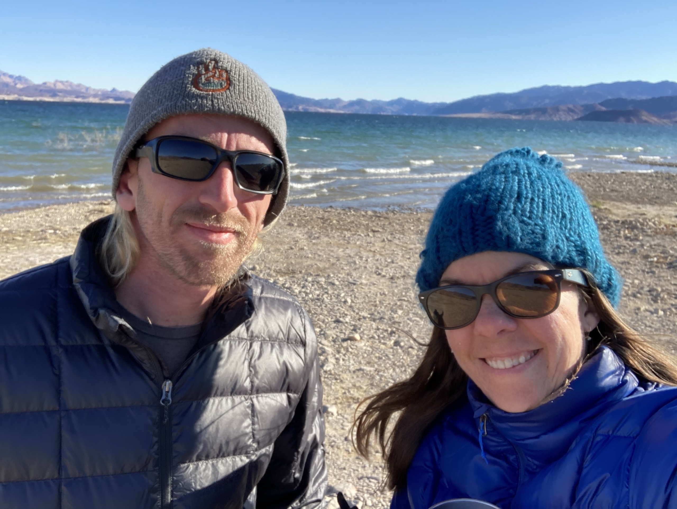
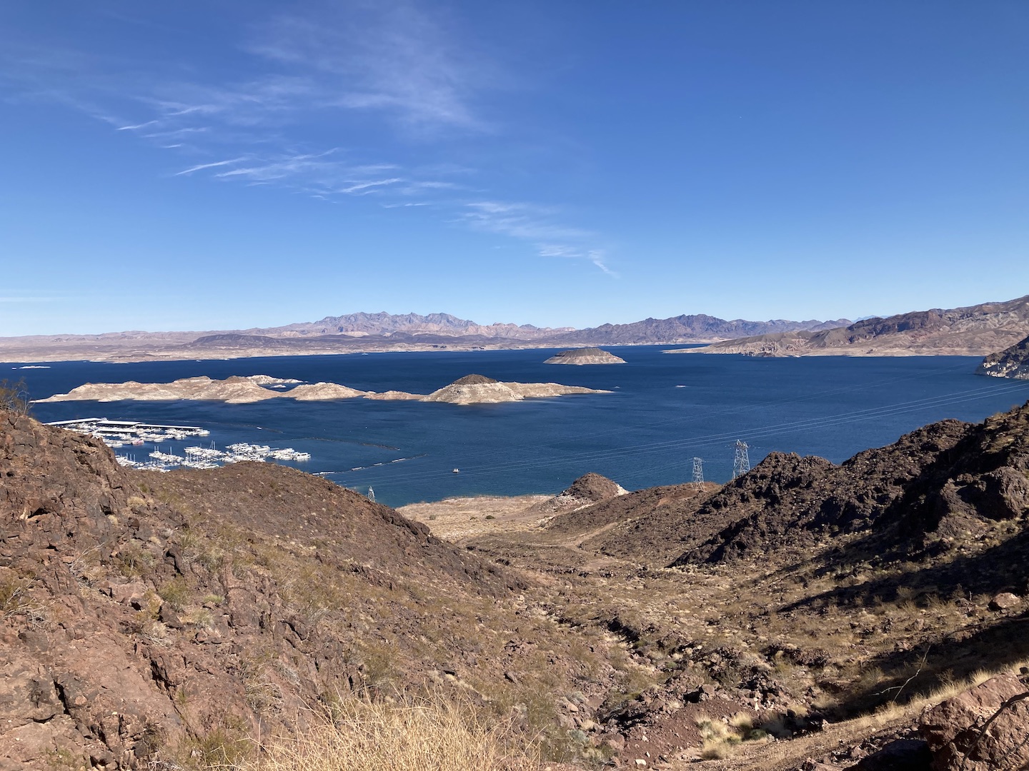
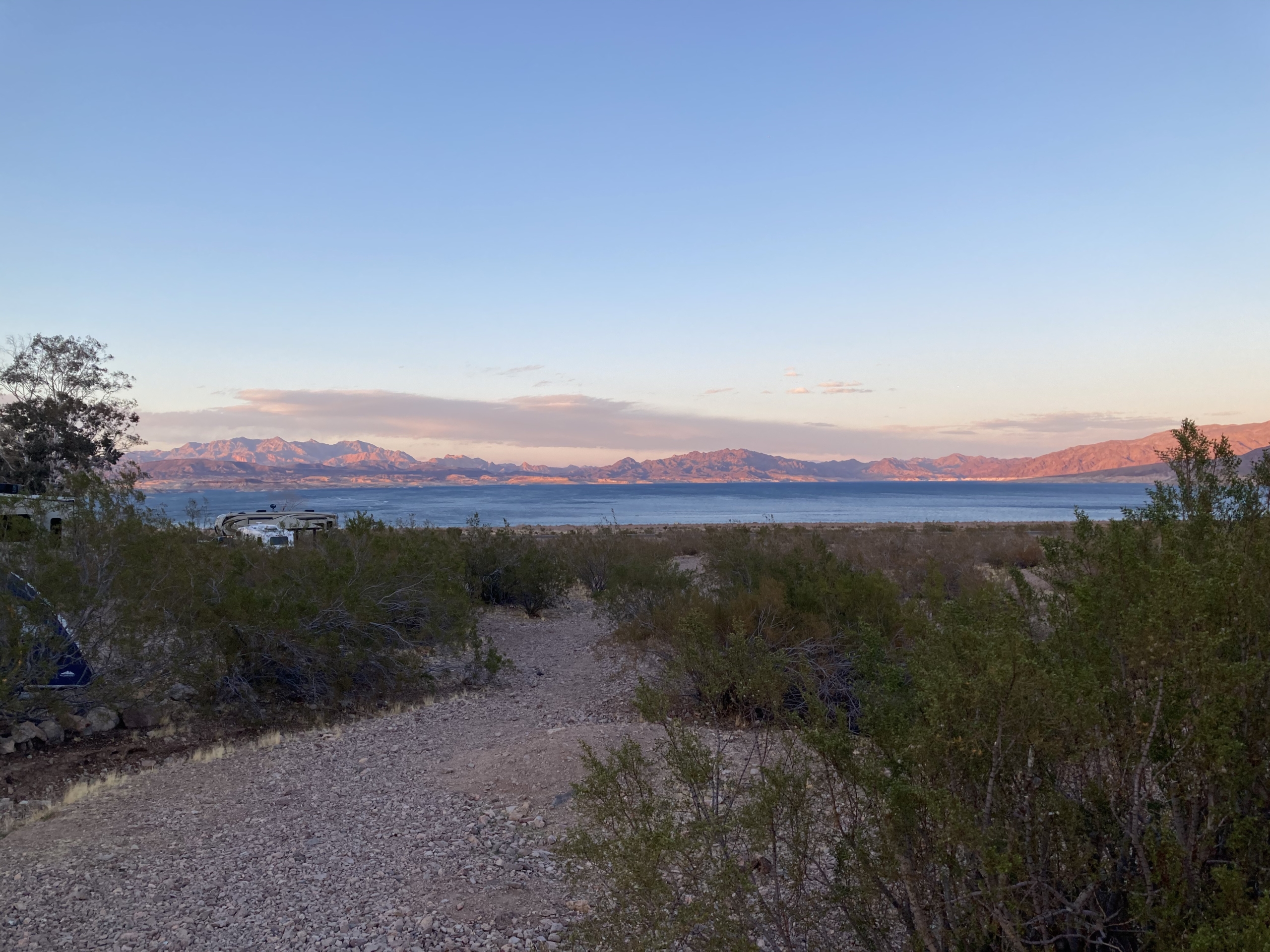
One our way home from Death Valley we stopped at Lake Mead for one night. We stayed at the Lake Mead RV Village at Boulder Beach. The sites are a little close together but you’re camping close to the lake so that’s expected. We weren’t right on the lake but it isn’t a far walk. Boulder Beach Campground is right next door and would be a great place to stay also.
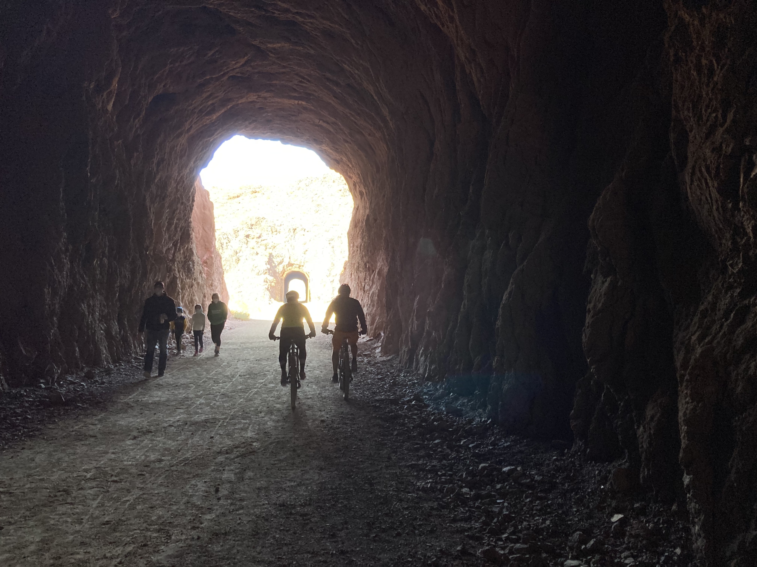
In order to build the Hoover Dam, a railroad was built to carry the supplies to the dam. A section of the Hoover Dam Railroad system still remains and has been converted to a hiking/biking path. I LOVE the Rails-To-Trails system! This trail has five tunnels, gorgeous lake views, ends at the Hoover Dam parking garage, and there are signs all along explaining how the railroad and dam were built. Once again, the boys rode their bikes and the girls walked. If you’re in the area, I’d suggest checking it out.
That’s a wrap on the Death Valley National Park recap! If you’ve been to DV, what did you think? Hopefully you loved it it as much as we did!